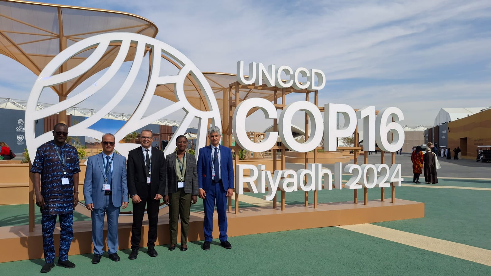
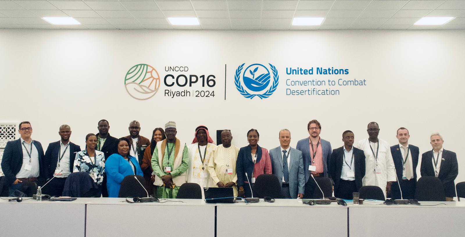
27th Session of the OSS Strategic Orientation Committee, Tunis, January 28, 2025
Held on January 28, 2025 in Tunis, the 27th session of the Strategic Orientation…


The Coordination Unit of the North Western Sahara Aquifer System Consultation Mechanism (NWSAS-CM), organized, on September 21-22, in partnership with the GMES&Africa project - OSS-North Africa Consortium, the second online training workshop on Earth Observation for water management and the use of the MISBAR platform as a monitoring tool for irrigated areas.
This workshop targeted the NWSAS-CM water and natural resources managers as well as the groundwater resources management technical staff from Algeria, Libya and Tunisia. It aimed to :
The training sessions were led by Mr. Mustapha MIMOUNI, Technical Coordinator of the GMES&Africa project and made it possible for all participants to interact and to familiarize with the MISBAR platform. In addition, group works and case studies gave the opportunity to explain how Earth Observation data can be used for mapping irrigation and estimating water withdrawals.
During this meeting, the needs of end users in terms of capacity building and products and services provided by the platform, were collected with the aim of developing a management plan and a practical training plan for EO technologies best use and a sustainable and coordinated management of the NWSAS water resources.
The North Western Sahara Aquifer System (NWSAS) extends over more than one million km² and is shared by Algeria, Libya and Tunisia. Its almost-fossil water reserves amount to approximately 60,000 billion m3 including 1 billion m3 of renewable resources. Promoting sustainable management of transboundary water resources in this aquifer is a challenge that the three countries need to take up to ensure a sustainable development in one of the most frail regions of the African continent.
It is true that this region made it through maintaining a sustainable activity thanks to its adaptation to an extremely arid environment and to a wise and well-thought use of the groundwater resources, still, it is important to emphasize that this balance is, more than ever, at risk due to the heavy exploitation of the available resources. The imbalance between scarcely renewable resources and the ever-increasing demand for water, in particular for irrigated agriculture, is also exacerbated by uncontrolled withdrawals.
The use of remote sensing is a real opportunity for a better monitoring of irrigated areas and boreholes, and for providing decision-makers and water managers with useful and near real time information on the amounts of water withdrawn for agricultural use.
For the record, GMES&Africa focuses on end users and aims to support decision-making for the sustainable management of natural resources through Earth Observation products and services.
MISBAR (Monitoring Integrated Services for Best Assessment of Natural Resources), was developed by the OSS as part of GMES&Africa - OSS-North Africa Consortium and is a tool for monitoring irrigated areas based on spatial data. MISBAR provides users with decision support tools for better knowledge and management of groundwater and contributes to good governance and spatio-temporal monitoring of these resources exploitation.
Held on January 28, 2025 in Tunis, the 27th session of the Strategic Orientation…

The participation of the Sahara and Sahel…

OSS Side Event at COP16: Strengthening Resilience in the Sahel through Multi-…