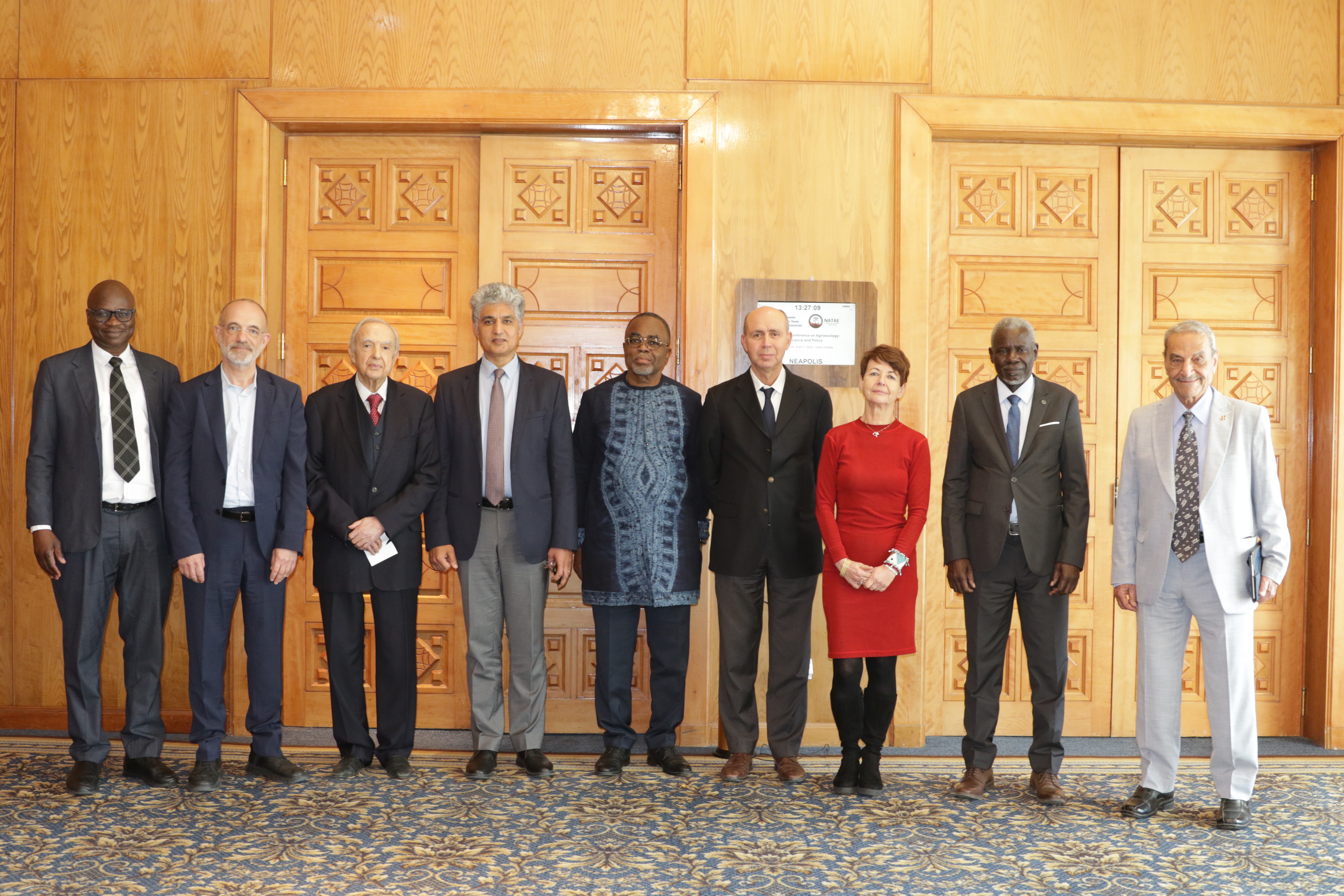
27th Session of the OSS Strategic Orientation Committee, Tunis, January 28, 2025
Held on January 28, 2025 in Tunis, the 27th session of the Strategic Orientation…
Closed
3 years and a half (2011-2015)
Earth Observation
Agriculture and forestry management
121 000 €
Technicians from national institutions
Students
AGRICAB is a project designed to strengthen the use of Earth Observation across the African continent. It builds on the data provided through the GEONETCast system, combining satellite information with other data sources and predictive models. This integration paves the way for improved planning and more informed management of agriculture and forestry.
For the Sahara and Sahel Observatory (OSS), AGRICAB comes to reinforce the momentum of earlier initiatives, particularly the studies conducted within the NWSAS framework for water abstraction assessment.
As such, AGRICAB contributes to consolidating existing achievements while expanding monitoring tools, placing them at the service of sustainable natural resource management.
GEONETCast
Held on January 28, 2025 in Tunis, the 27th session of the Strategic Orientation…
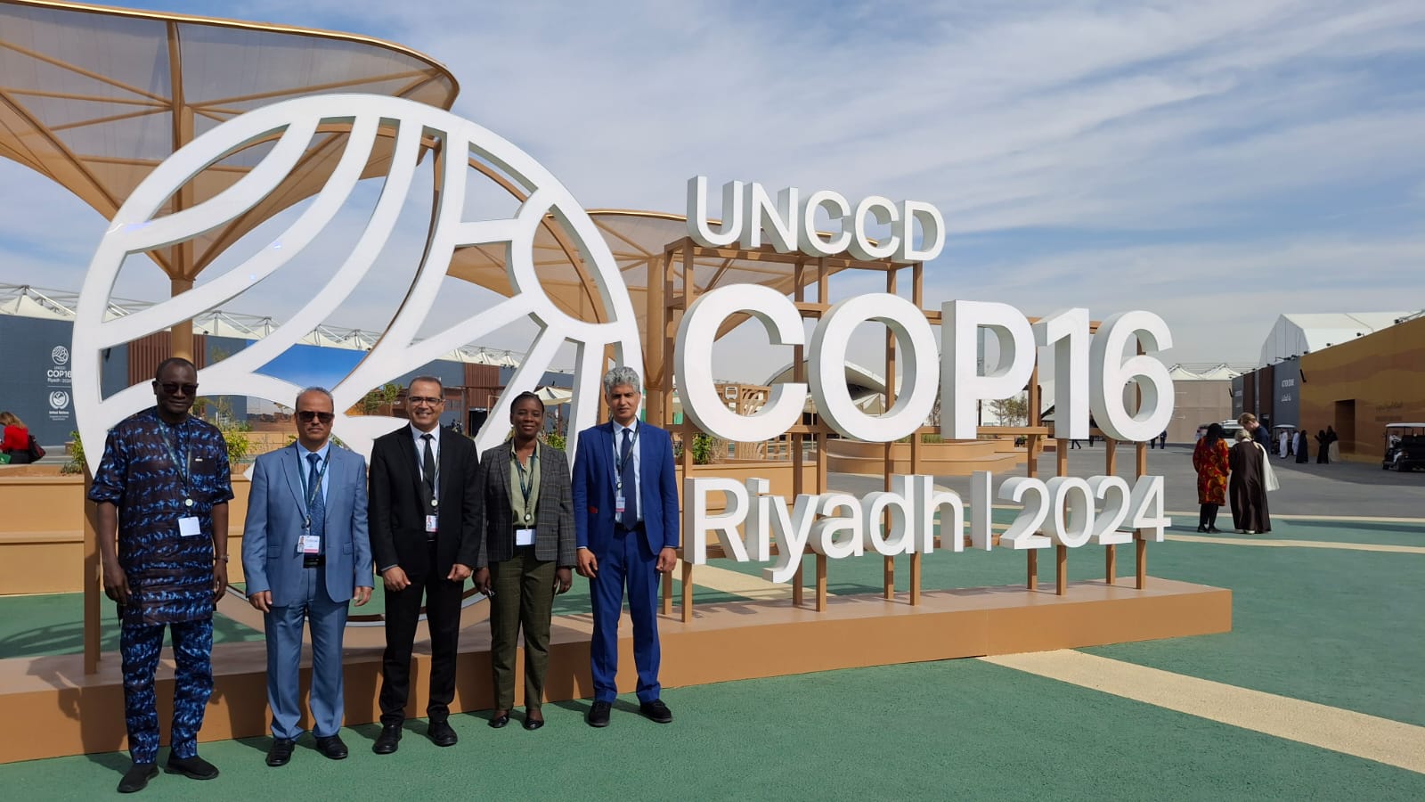
The participation of the Sahara and Sahel…
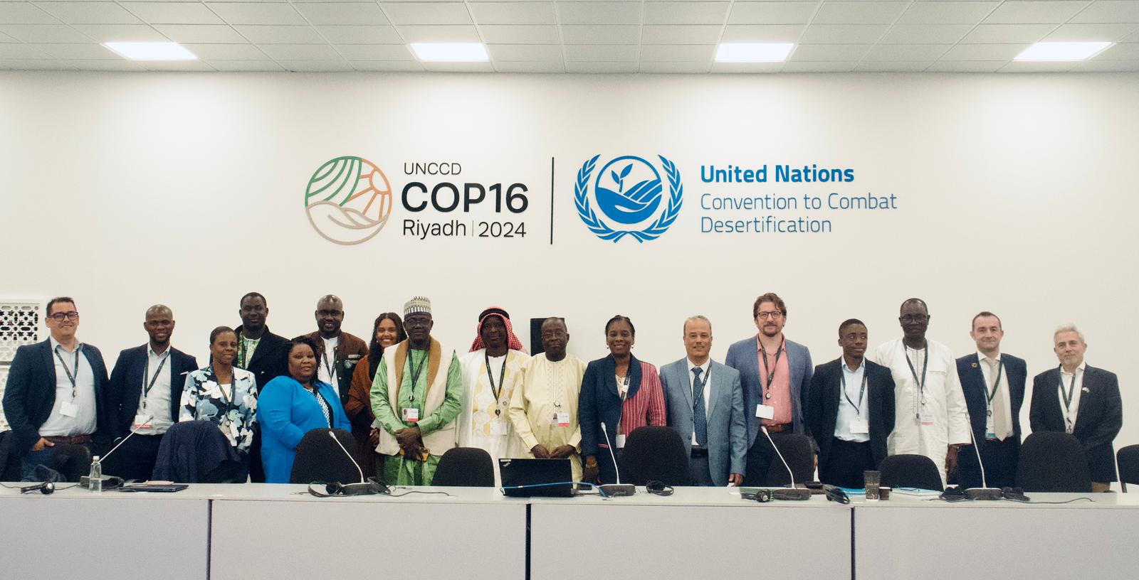
OSS Side Event at COP16: Strengthening Resilience in the Sahel through Multi-…