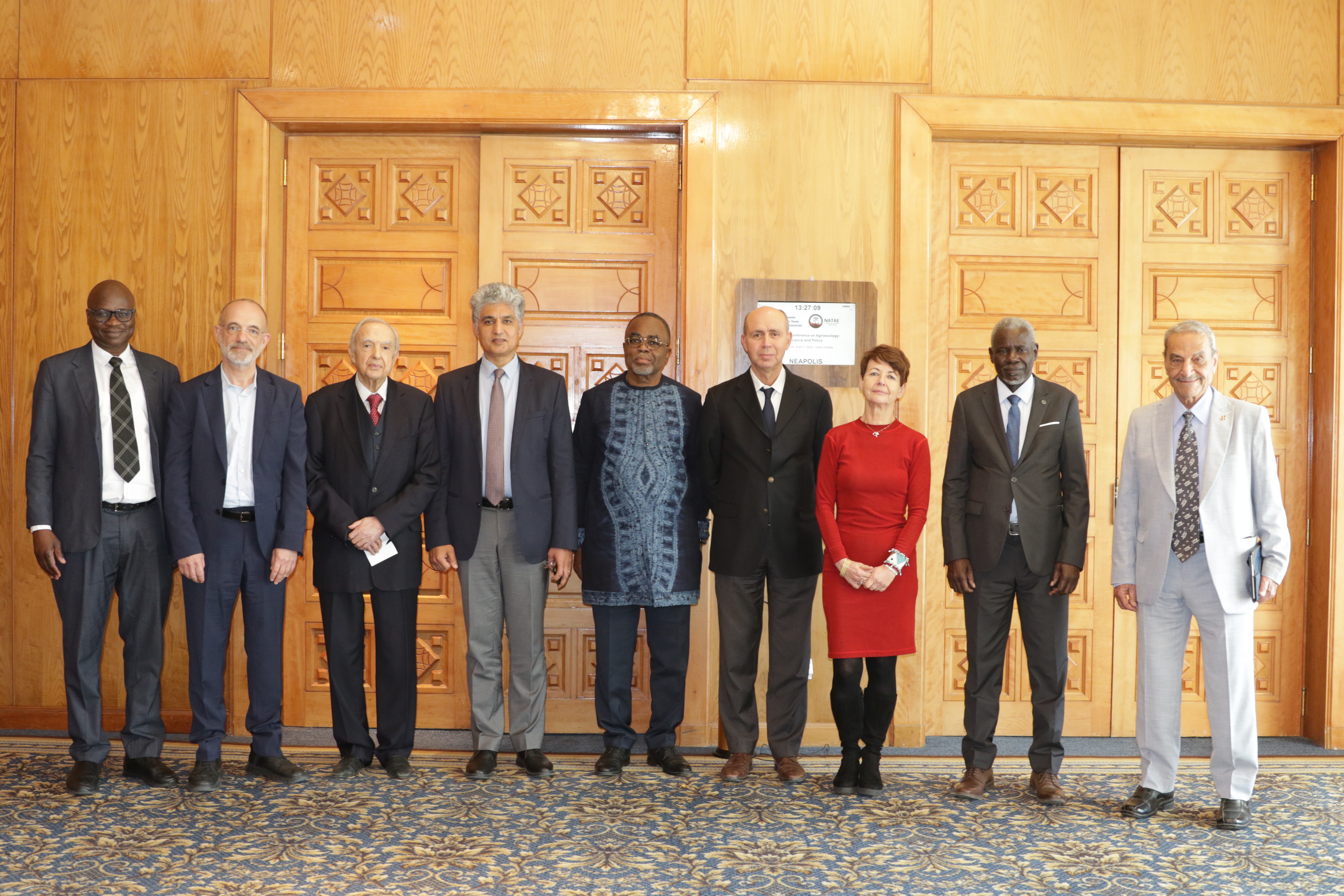
27th Session of the OSS Strategic Orientation Committee, Tunis, January 28, 2025
Held on January 28, 2025 in Tunis, the 27th session of the Strategic Orientation…
Closed
7 years (2018-2025)
4 300 000 US$
Local populations
Local, national, and regional institutions responsible for groundwater and surface water management
Scientific community
Improving the management and governance of the Niger River Basin and the Iullemeden-Taoudéni/Tanezrouft aquifer systems represents a key step in strengthening Integrated Water Resources Management and places the communities on top of the priorities while supporting the resilience of ecosystems.
The combination of scientific knowledge, the joint management of surface and groundwater, and strengthened transboundary cooperation paves the way for balanced and shared governance, serving the sustainable use of common resources.
This effort aligns with the Sustainable Development Goals, particularly SDG 6 and its target 6.5 on integrated water resources management at all levels, including transboundary cooperation. At the same time, it contributes to improving the livelihoods and well-being of local communities.
The project covers the entire Niger Basin and the ITTAS aquifer systems, with the GEF technical and financial support and in partnership with regional and national institutions, building a collective commitment towards a shared sustainable future.
Held on January 28, 2025 in Tunis, the 27th session of the Strategic Orientation…
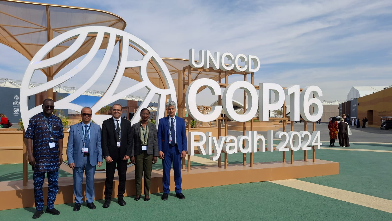
The participation of the Sahara and Sahel…
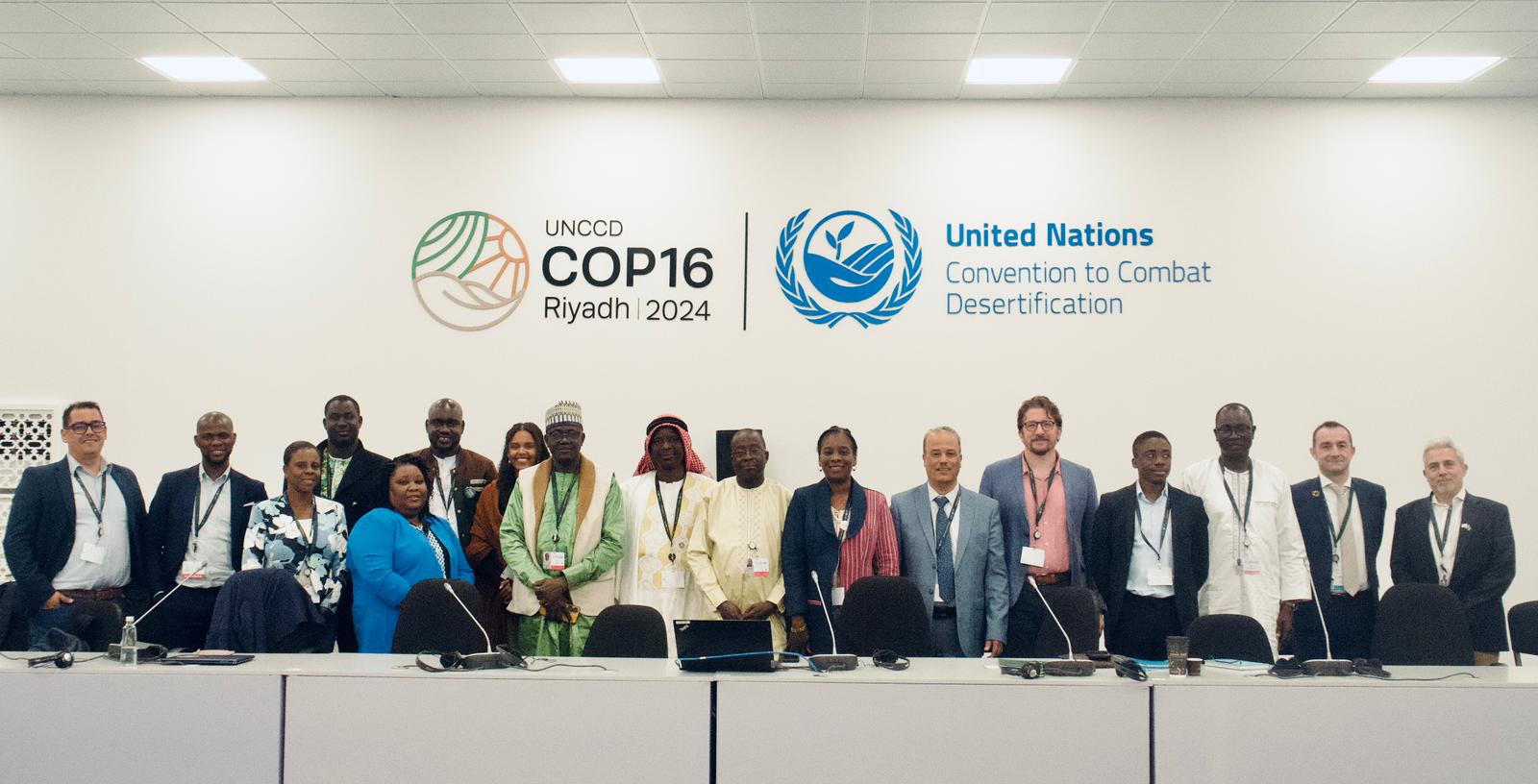
OSS Side Event at COP16: Strengthening Resilience in the Sahel through Multi-…