Online training, September 10, 2025
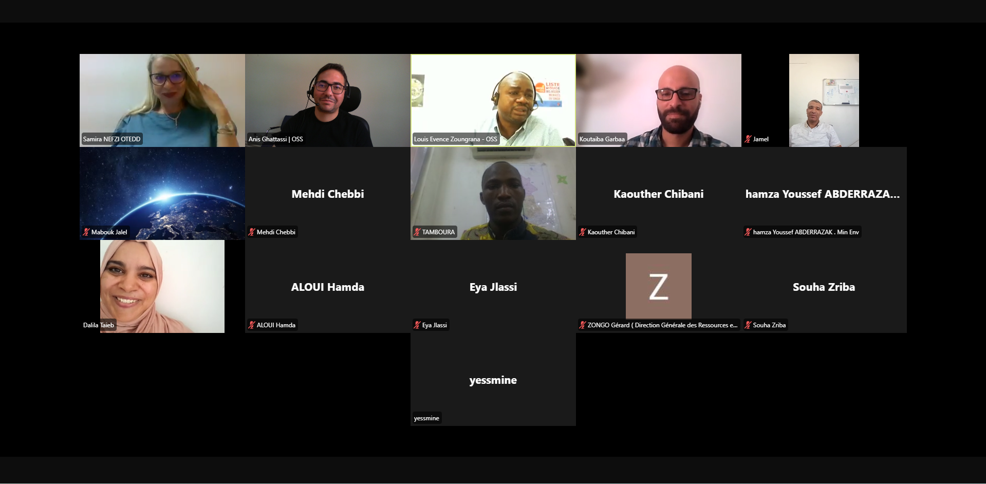
As part of its mission to support African countries in the sustainable management of natural resources, the Sahara and Sahel Observatory organized an online training on September 10, 2025, focused on monitoring land productivity through the services of Digital Earth Africa (DEA).
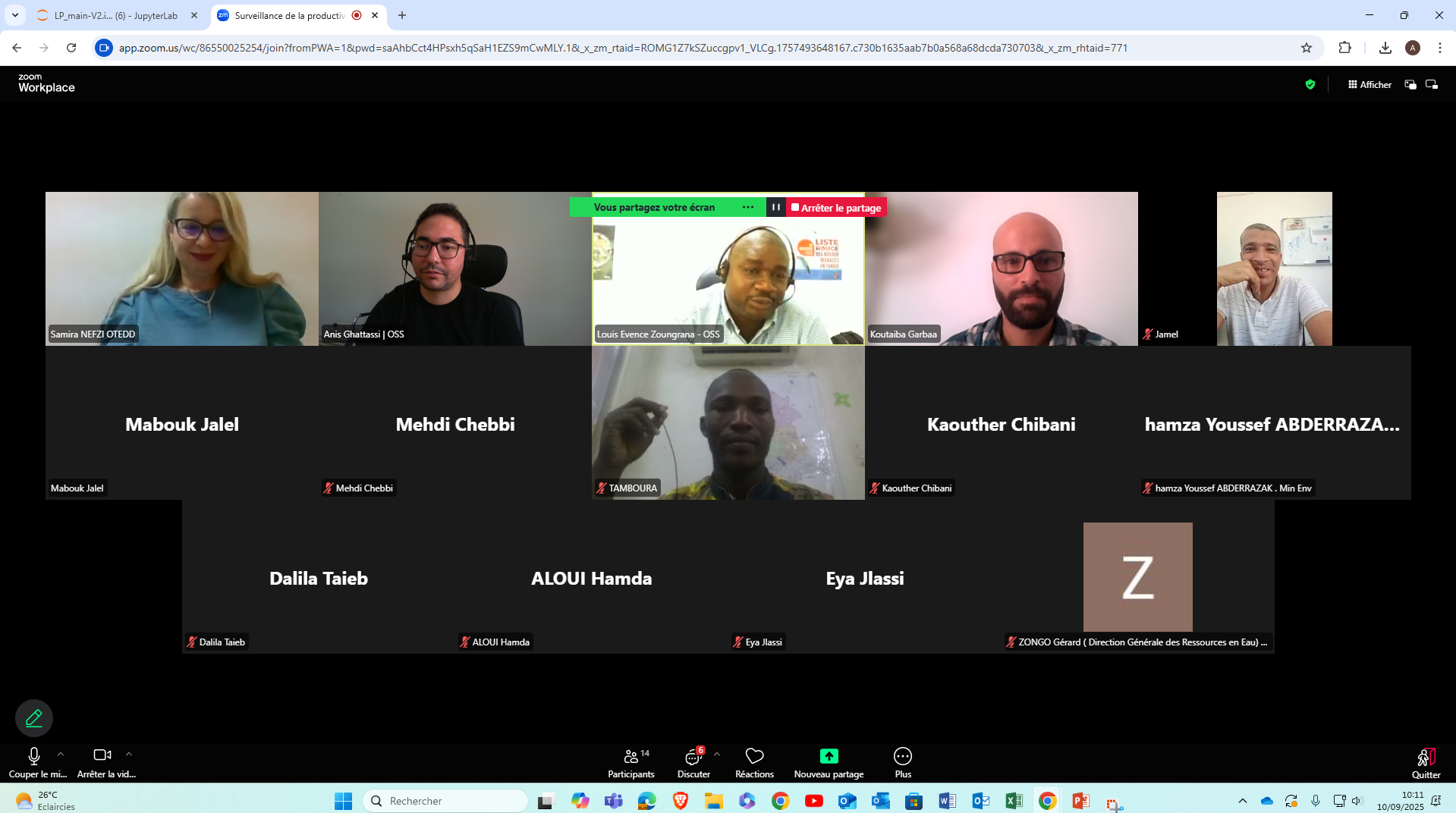
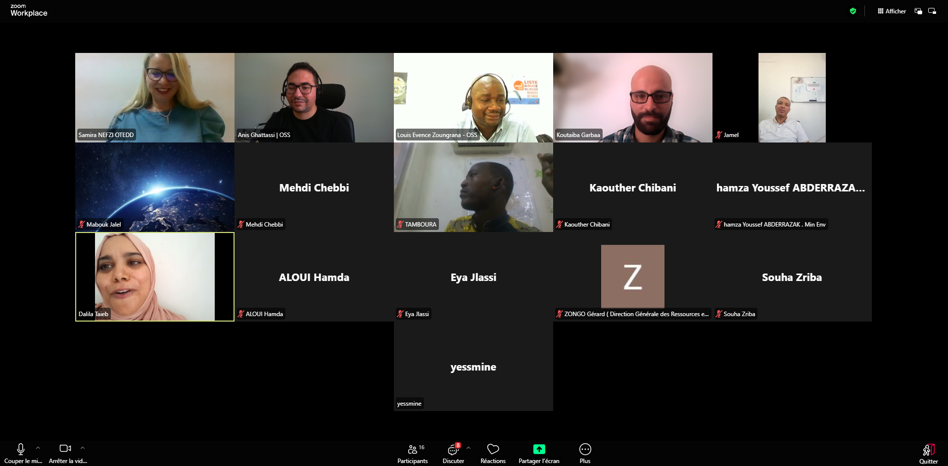
This training provided the national institutions of Burkina Faso and Tunisia with geospatial tools and innovative methods to support territorial resilience and food security. It brought together experts from the Ministries of Agriculture, Environment, Economy, and Finance, as well as specialists in remote sensing, geographic information systems, and applied artificial intelligence.
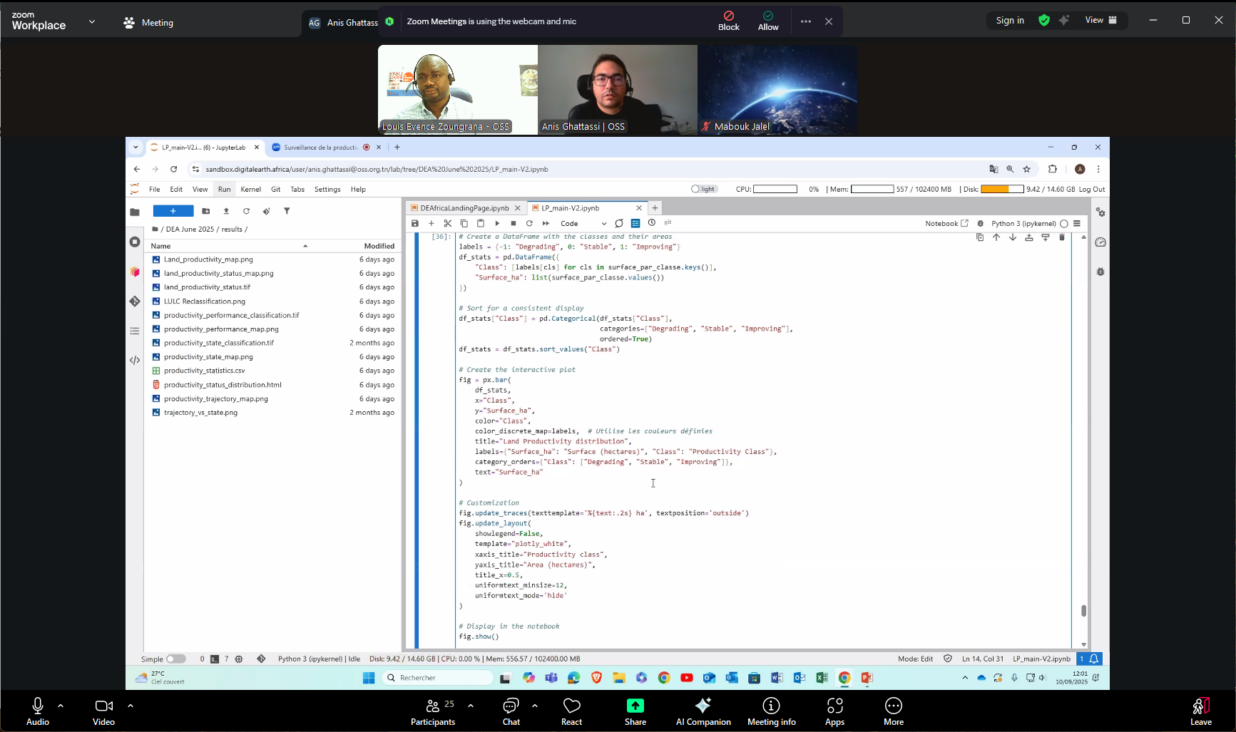
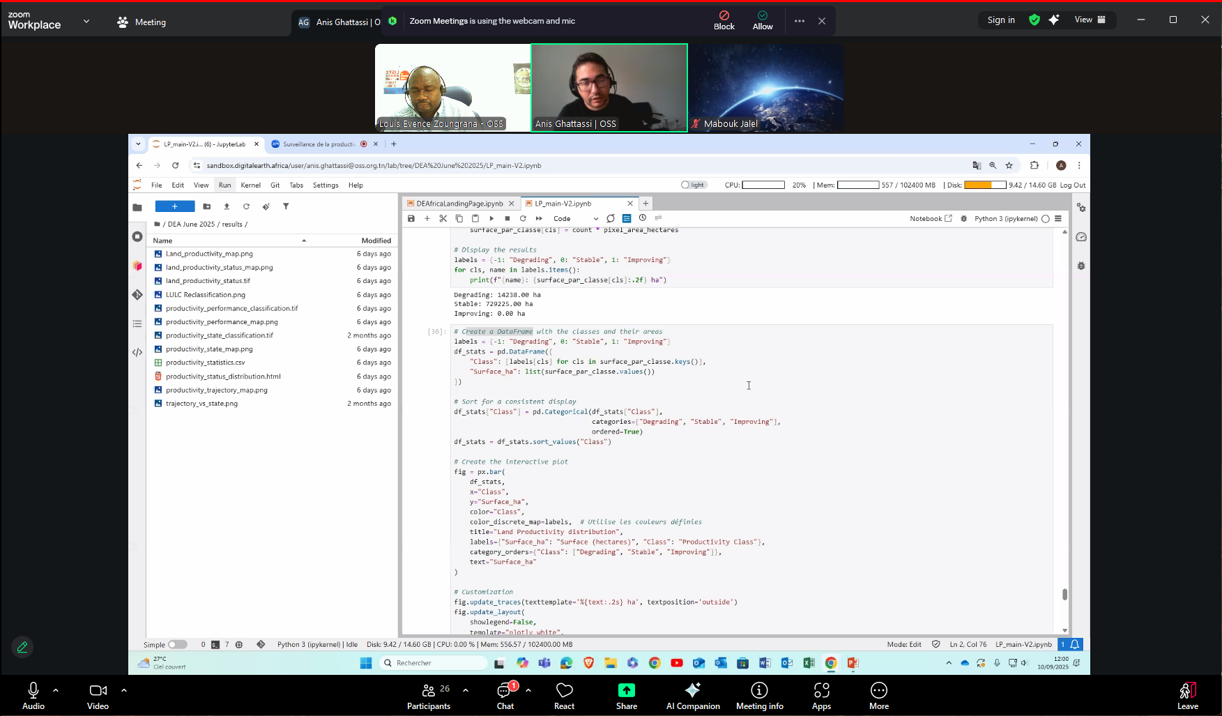
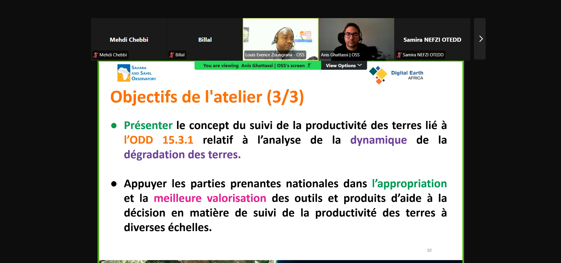
The workshop focused on Monitoring Land Productivity Using Earth Observation Derivatives, with a particular interest on the use of machine learning techniques for mapping and the implementation of practical cases in Tunisia.
The training also presented innovative approaches for assessing land productivity using satellite data and demonstrated the integration of DEA tools with artificial intelligence solutions to perform detailed and reproducible spatiotemporal analyses.
Participants were also introduced to the use of the DEA Sandbox platform, which is useful for producing relevant indicators related to land productivity, particularly in the context of monitoring SDG 15.3.1.
Through this fourth session, the OSS actively contributes to the dissemination and adoption of modern geospatial tools by its member countries, with a view to promoting environmental governance based on relevant data and strengthening territorial resilience through inter-institutional and inter-country synergies.