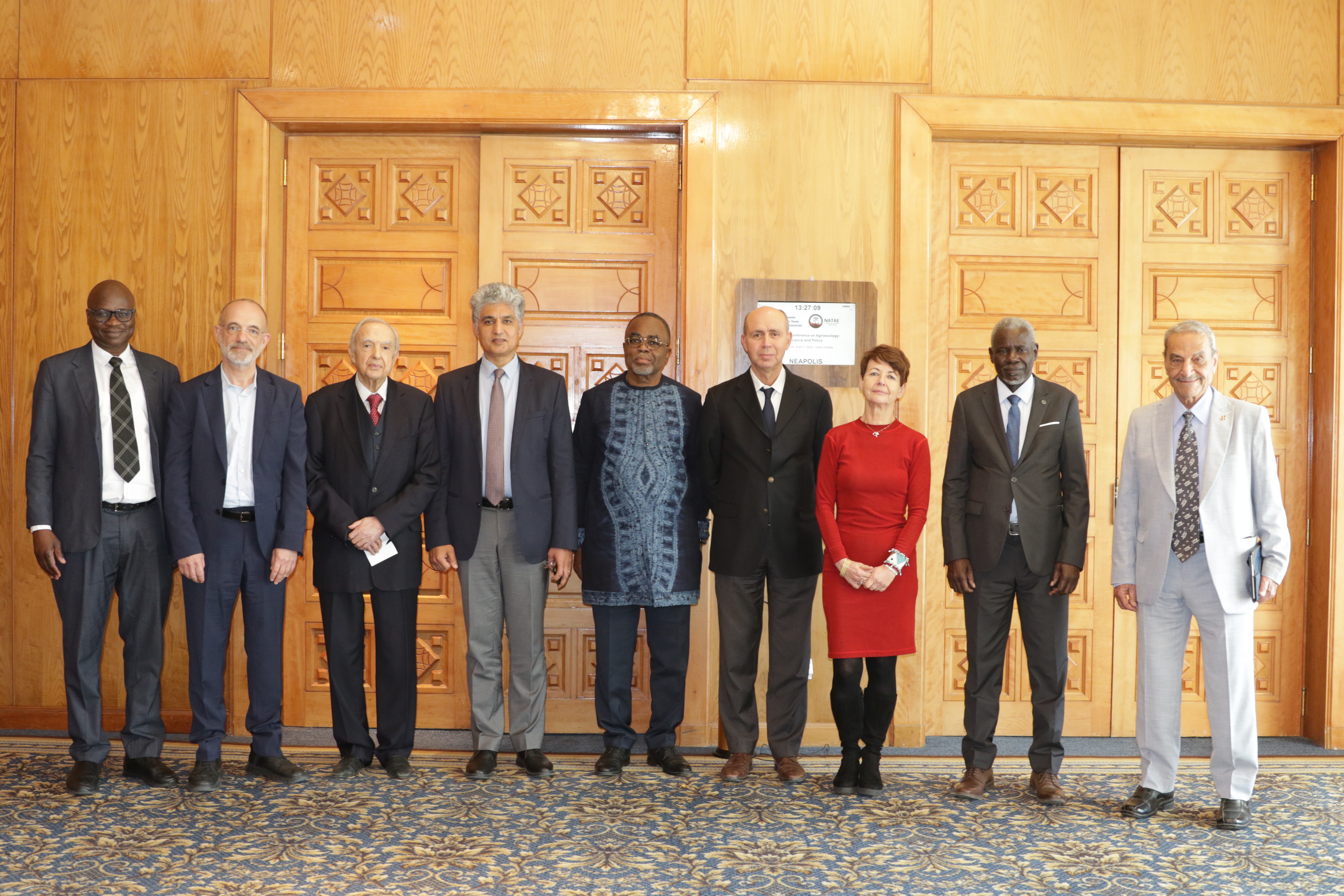
27th Session of the OSS Strategic Orientation Committee, Tunis, January 28, 2025
Held on January 28, 2025 in Tunis, the 27th session of the Strategic Orientation…
It is well-known that land degradation not only results in reduced food production but also in reduced environmental quality, life conditions and health. In West Africa, the most conspicuous symptoms of the negative impact of land degradation on food production are stagnating and declining yields and increasing levels of poverty. There is an increasing need and interest to strengthen regional collaboration for sustainable development through a better understanding of land dynamics.
There is an increasing necessity to provide timely and updated information about the status of land resources.
Land cover data is one of the fundamental themes of the United Nations Initiative on Global Geospatial Information Management (UN-GGIM) and for the Sustainable Development Goals (SDGs). However, to meet these goals, various approaches for the use and integration of land cover data, employed by organizations in West Africa, must be strengthened.
In 2013, the West African Regional Conference on Land Cover and Land Implementation suggested the creation of a common framework. Improving land cover information using the latest innovations becomes essential for Sustainable Development Goals (SDGs), restoration of ecosystems, fight against climate change, disaster risk reduction among many others.
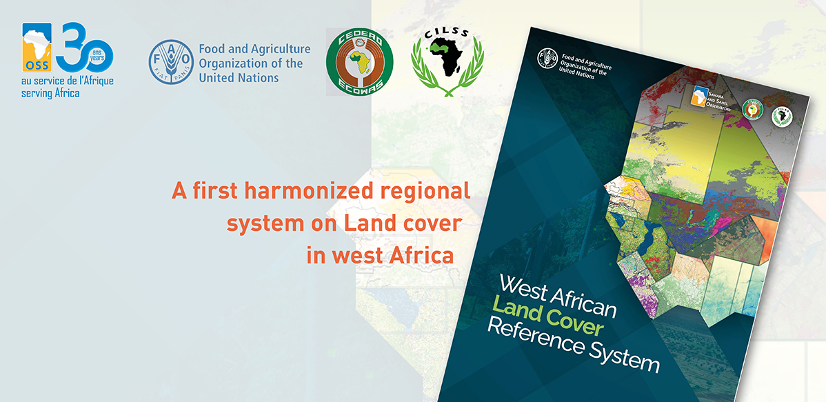
Within this framework, the Food and Agriculture Organization of the United Nations (FAO), the Agrometeorology, Hydrology and Meteorology Regional Center (AGRHYMET), the Economic Community of West African States (ECOWAS), the Observatoire du Sahara et du Sahel (OSS) and SERVIR West Africa launch the new publication West African Land Cover Reference System (WALCRS) on 26 July 2022.
Accordingly, this publication is the first regional land cover reference system of its kind. It serves as the foundation for the development of national and/or regional land cover information. The WALCRS is the result of a joint initiative towards harmonized land cover monitoring among nations and regional and international organizations. The development of the publication followed the release of the latest international standard on land cover (ISO 19144-2).
In addition to providing a strong foundation for the harmonization and integration of land cover information from West African nations and organizations, the publication will help to connect land cover information from different sources and make it interoperable.
This system will also serve as a reference framework in support of land cover monitoring for various national and/or regional efforts, such as the monitoring of land, forests, crops, greenhouse gases, biodiversity and many others. Therefore, the use and implementation of this reference system will contribute to the improvement of land cover monitoring at regional, national and local levels, and ensure a solid and scientific approach for all partner organizations.
The launch of the publication is part of a larger effort in the region to develop a better system for land monitoring, and to strengthen technical capacities and collaboration with various national, regional and international partners to mainstream sustainable and reliable baseline land and water data into development agendas.
This work was made possible through the collaboration among FAO, ECOWAS, the Permanent Inter-State Committee for Drought Control in the Sahel (CILSS), AGRHYMET, OSS, SERVIR West Africa and its consortium partners and experts and by financial contributions from the Swedish International Development Cooperation Agency (Sida) and the FAO Geospatial Unit at the Land and Water division (NSL).
The technical contribution of OSS to the implementation of this system consisted mainly in sharing its experience and good practices in mapping, and in pooling land cover data acquired within the framework of programs related to the use of remote sensing for food security and sustainable land and water management.
Publication is available here.
Contact: Geospatial Unit, Land and Water Division (NSL)
GIS-manager@fao.org
https://www.fao.org/geospatial/en/
Held on January 28, 2025 in Tunis, the 27th session of the Strategic Orientation…
The participation of the Sahara and Sahel…
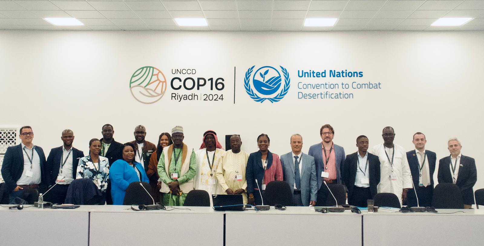
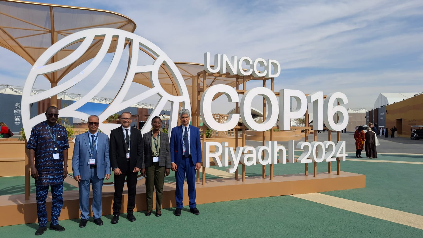
OSS Side Event at COP16: Strengthening Resilience in the Sahel through Multi-…