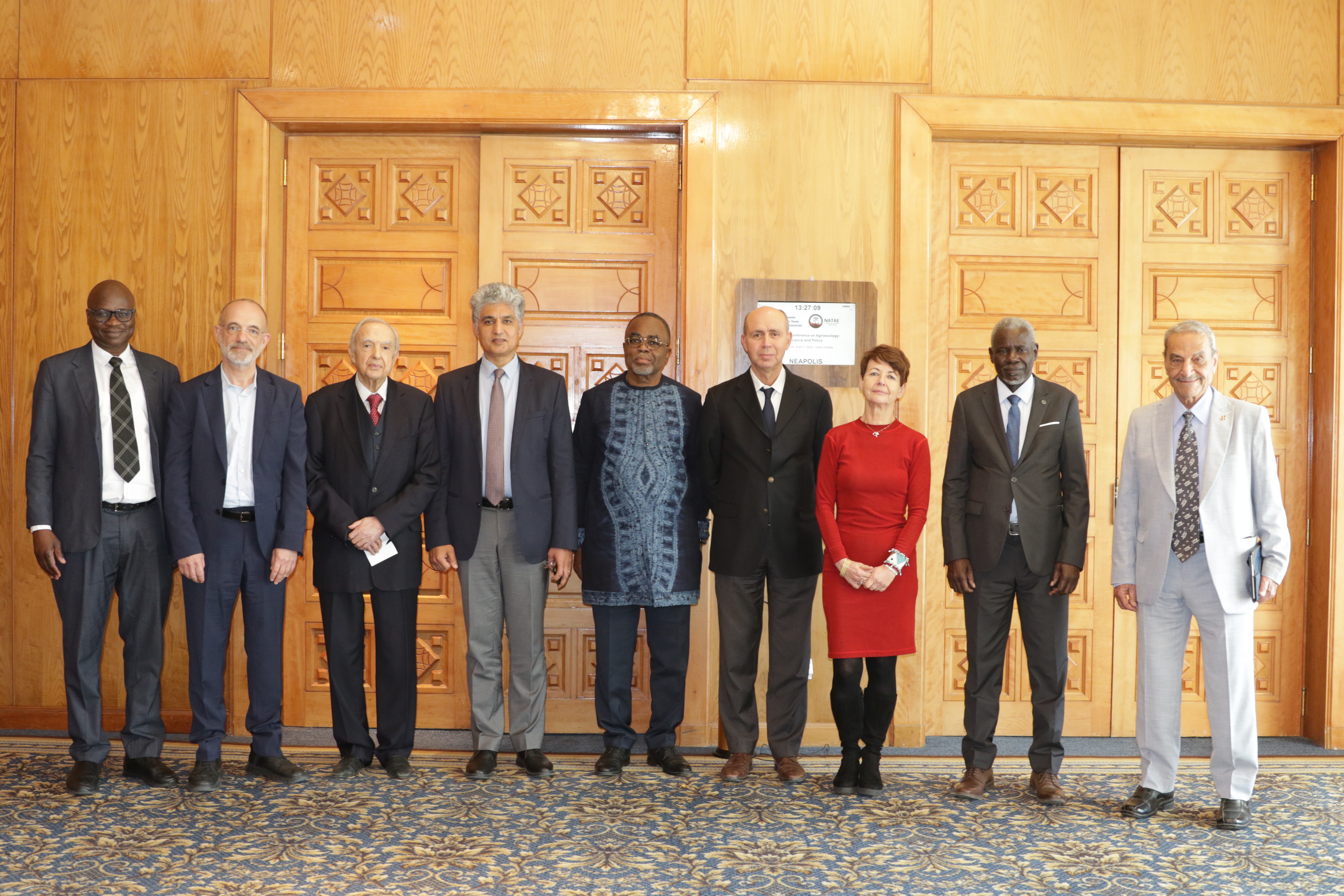
27th Session of the OSS Strategic Orientation Committee, Tunis, January 28, 2025
Held on January 28, 2025 in Tunis, the 27th session of the Strategic Orientation…
Closed
5 years (2007 - 2013)
1 800 000 €
Governmental entities responsible for water resource management
Local populations
The scientific community
The IGAD sub-region, spanning nearly 5.2 million km², is largely defined by arid and semi-arid landscapes that make up about 80% of its territory. These fragile ecosystems are increasingly strained by recurrent droughts, which have historically caused severe human and economic losses. At the same time, rapid population growth — from 206 million in 2010 to a projected 460 million by 2050 — continues to intensify pressure on already scarce water resources, threatening agriculture, livestock, and agro-pastoral systems that remain the backbone of local livelihoods.
To address these challenges, a first initiative implemented between 2007 and 2012 laid the groundwork for a deeper understanding of transboundary water resources. Six river basins and six aquifers were identified, while regional tools such as databases, GIS platforms, thematic maps, and models were developed. These achievements not only provided a knowledge base but also highlighted the urgent need for coordinated management of surface and groundwater across borders.
Building on this foundation, the project sets out a clear ambition: advancing integrated water resources management, with a particular focus on shared transboundary systems. By assessing the potential of surface and groundwater to support socio-economic development, the initiative seeks to enable IGAD member States to engage collectively in a coordinated approach. This vision aspires to secure water availability, strengthen regional cooperation, and enhance resilience to the growing impacts of climate change.
Held on January 28, 2025 in Tunis, the 27th session of the Strategic Orientation…
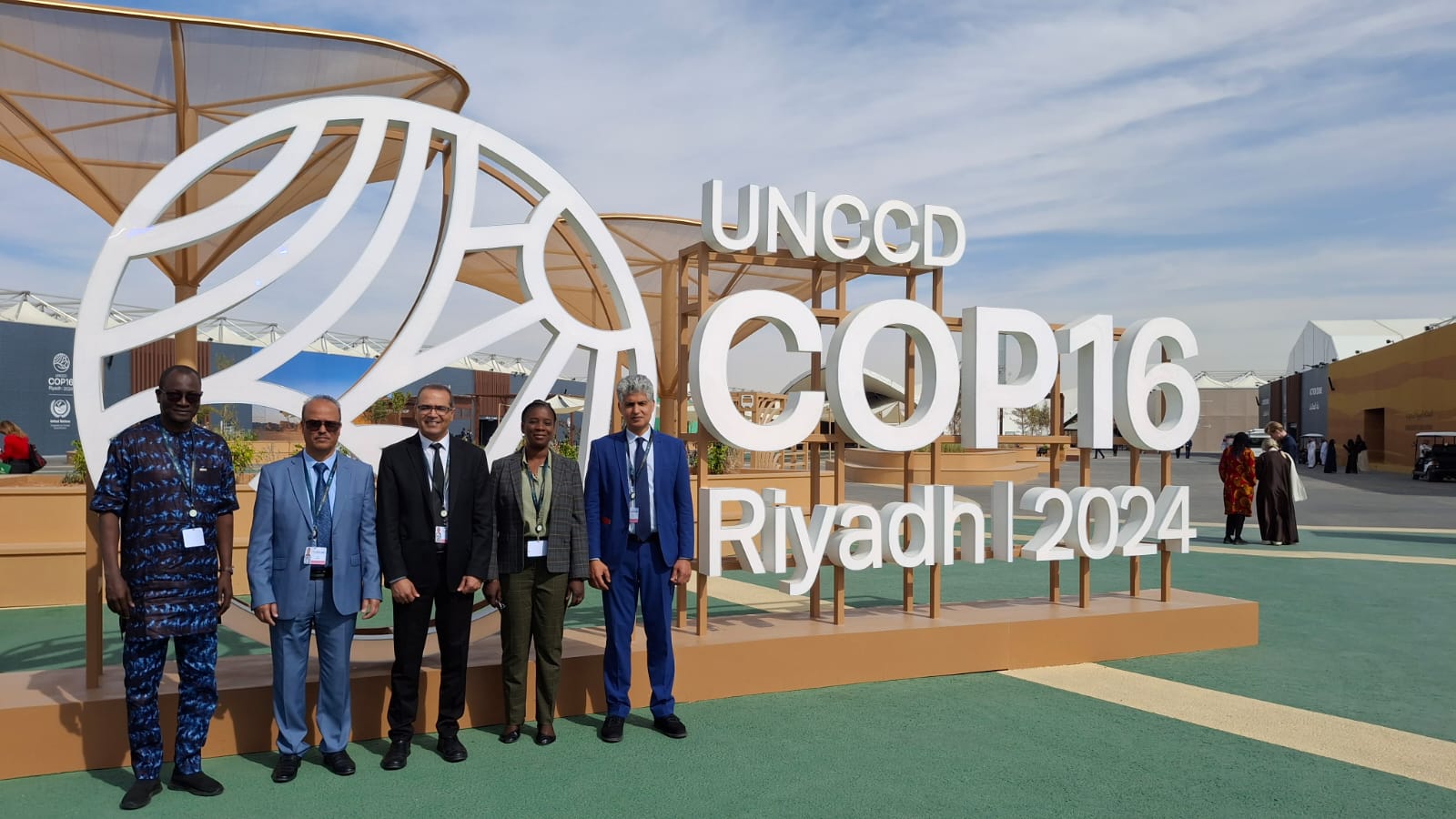
The participation of the Sahara and Sahel…
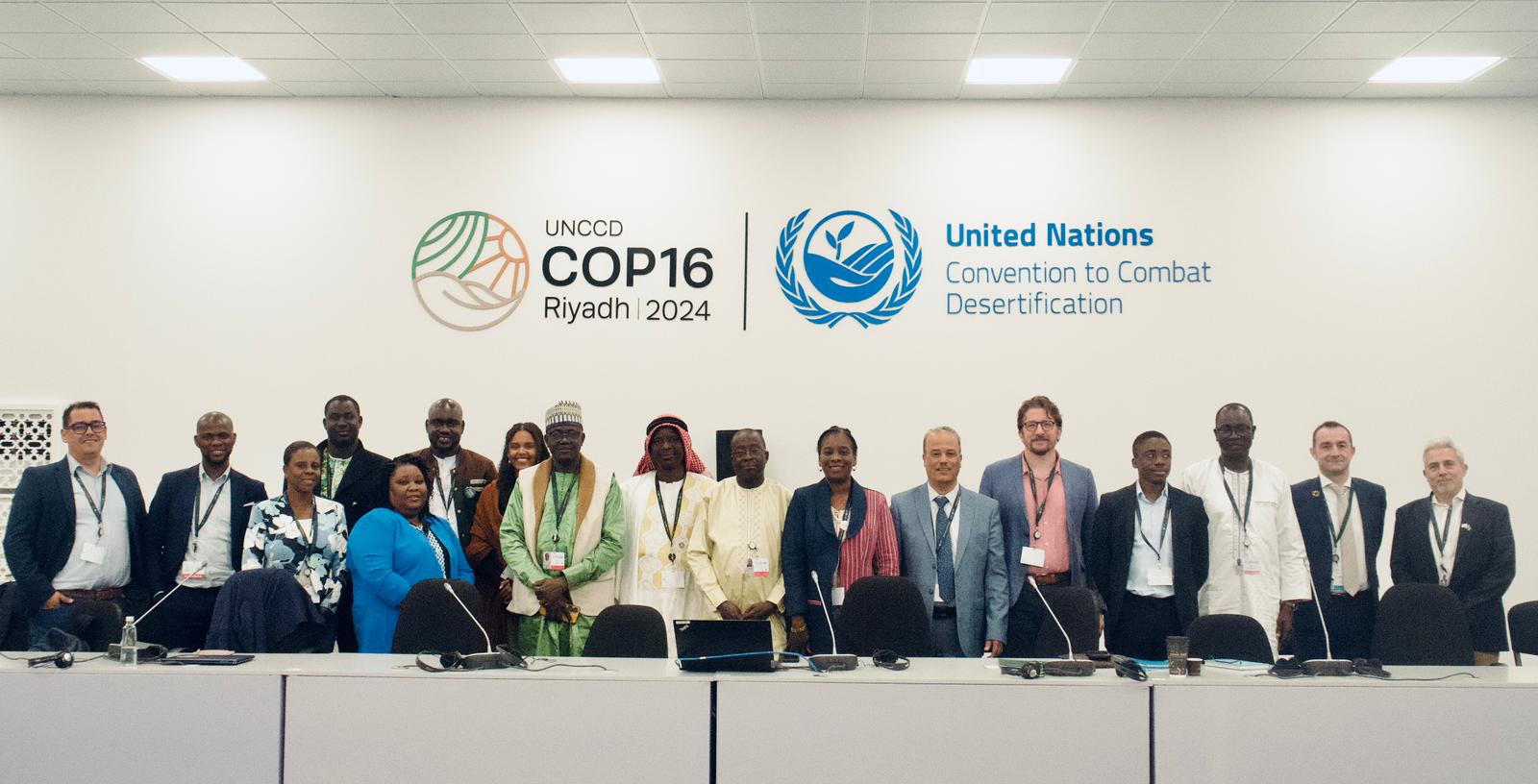
OSS Side Event at COP16: Strengthening Resilience in the Sahel through Multi-…