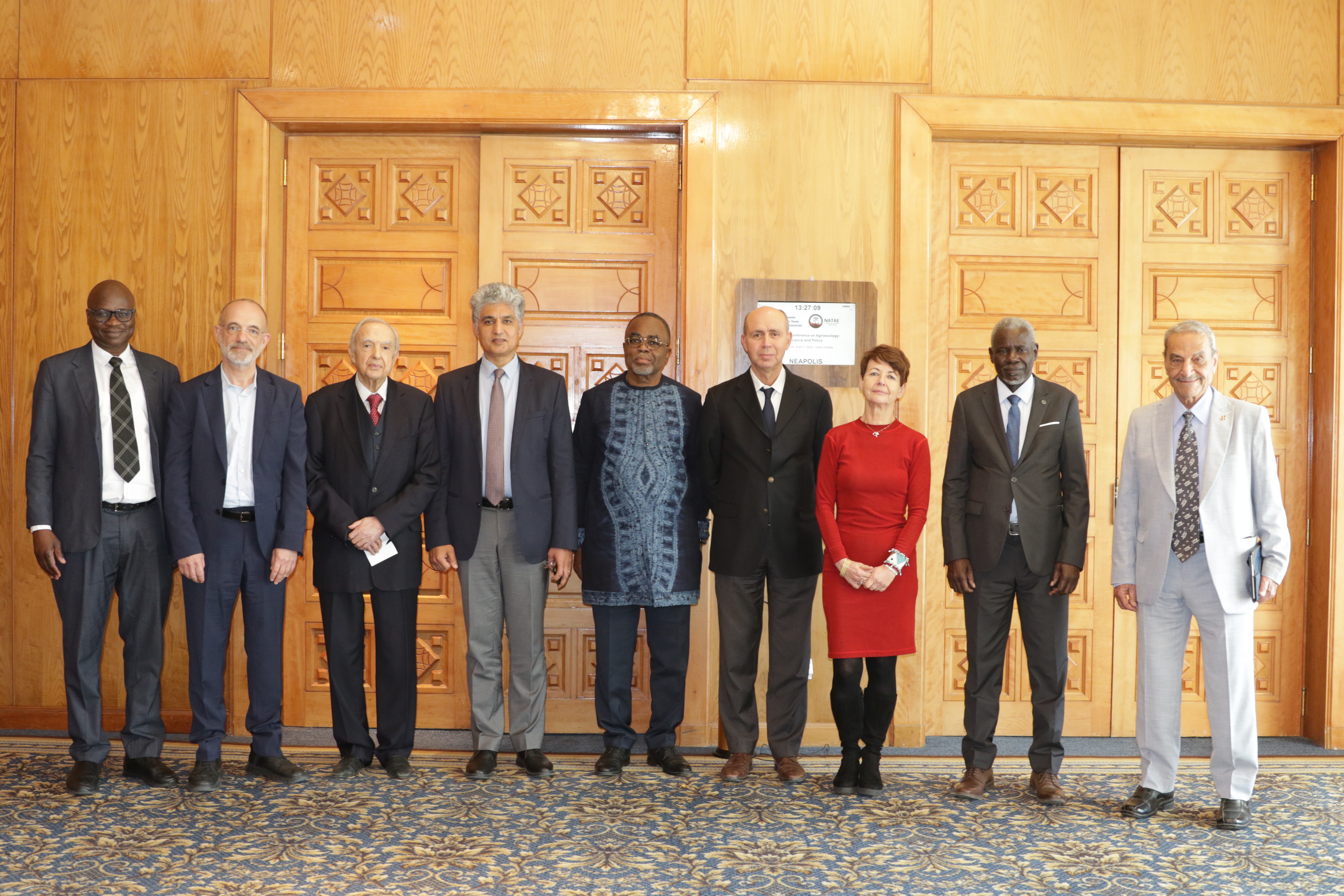
27th Session of the OSS Strategic Orientation Committee, Tunis, January 28, 2025
Held on January 28, 2025 in Tunis, the 27th session of the Strategic Orientation…
Closed
5 years (2018 – 2022)
Food security
Remote sensing
Agriculture
Capacity Building
Decision making support
327 500 USD
AfriCultuReS is a regional project funded by the European Union (H2020) and implemented in eight African countries by a consortium of 17 African and European organizations and universities. Designated as a partner, the OSS implemented the project activities in Tunisia.
The core objective of the project is to develop an integrated monitoring and early warning system to support decision-making in agriculture and food security in South Africa, Ghana, Ethiopia, Kenya, Mozambique, Niger, Rwanda and Tunisia.
At the regional level, the project has developed an Agricultural Geospatial Decision Support Platform (https://africultures-platform.eu), which harnesses Earth Observation data to deliver operational services across seven thematic areas: climate, agriculture, drought, land, livestock, water, and weather and which strengthens the effectiveness of existing monitoring and early warning systems across Africa.
In Tunisia, selected as a representative model of Mediterranean agricultural systems, AfriCultuReS has developed geospatial databases, detailed crop maps, and a national geoportal to guide agricultural planning. The initiative is coordinated by the Sahara and Sahel Observatory (OSS) in partnership with three national reference institutions: CNCT, INRGREF, and ONAGRI. Together, they leverage remote sensing to enhance agricultural monitoring and reinforce food security.
Held on January 28, 2025 in Tunis, the 27th session of the Strategic Orientation…
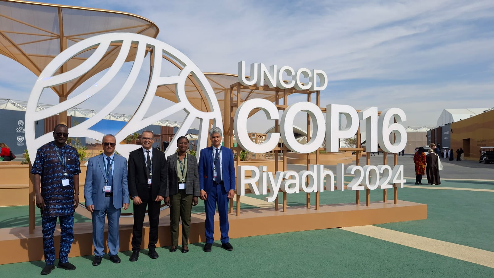
The participation of the Sahara and Sahel…
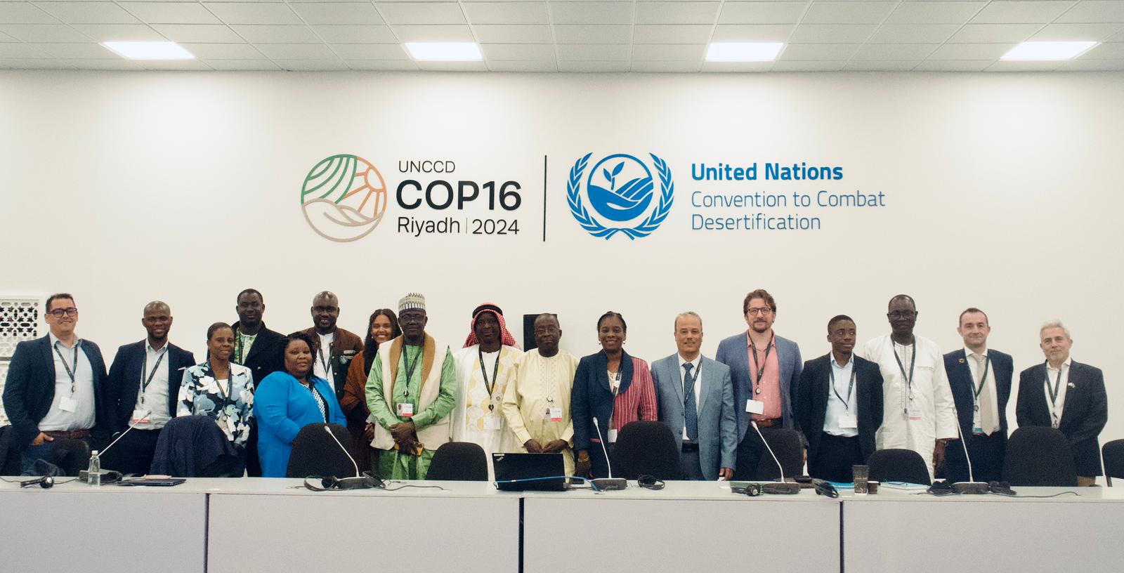
OSS Side Event at COP16: Strengthening Resilience in the Sahel through Multi-…