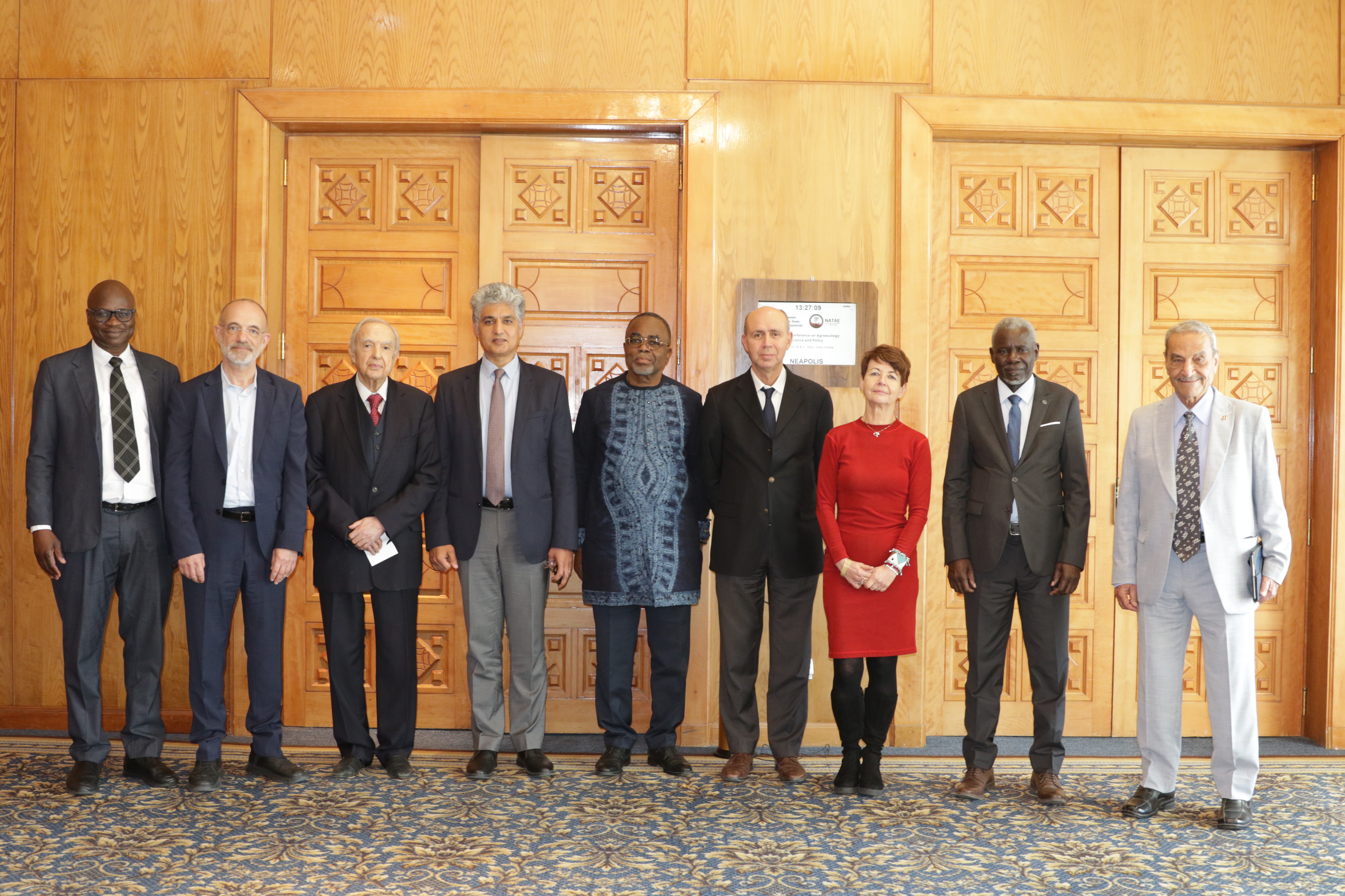
27th Session of the OSS Strategic Orientation Committee, Tunis, January 28, 2025
Held on January 28, 2025 in Tunis, the 27th session of the Strategic Orientation…
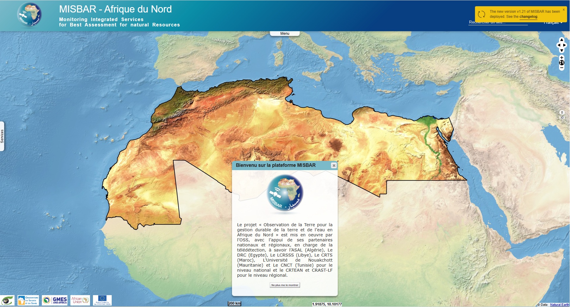
A monitoring and control system for irrigated areas, built on high-resolution spatial data, designed to provide accurate information and support decision-making. Its purpose is to improve knowledge and management of groundwater resources while promoting effective governance and ensuring rigorous spatio-temporal monitoring of their use. Developed under the GMES&Africa project, the system was implemented by the OSS with the support of its national and regional remote sensing partners.
Held on January 28, 2025 in Tunis, the 27th session of the Strategic Orientation…
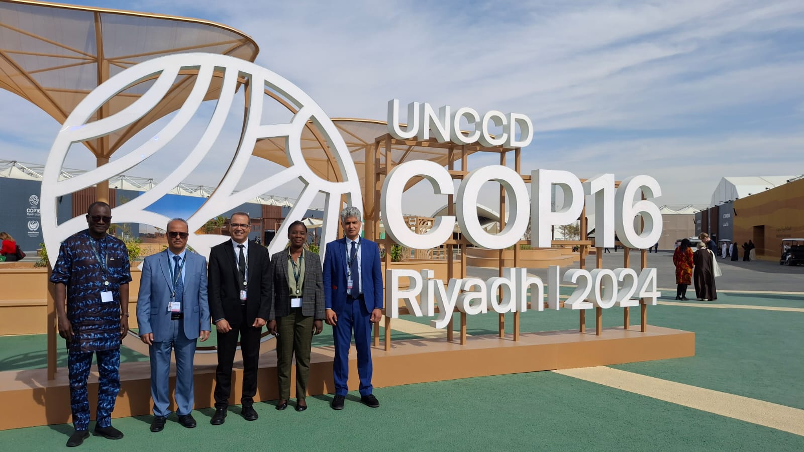
The participation of the Sahara and Sahel…
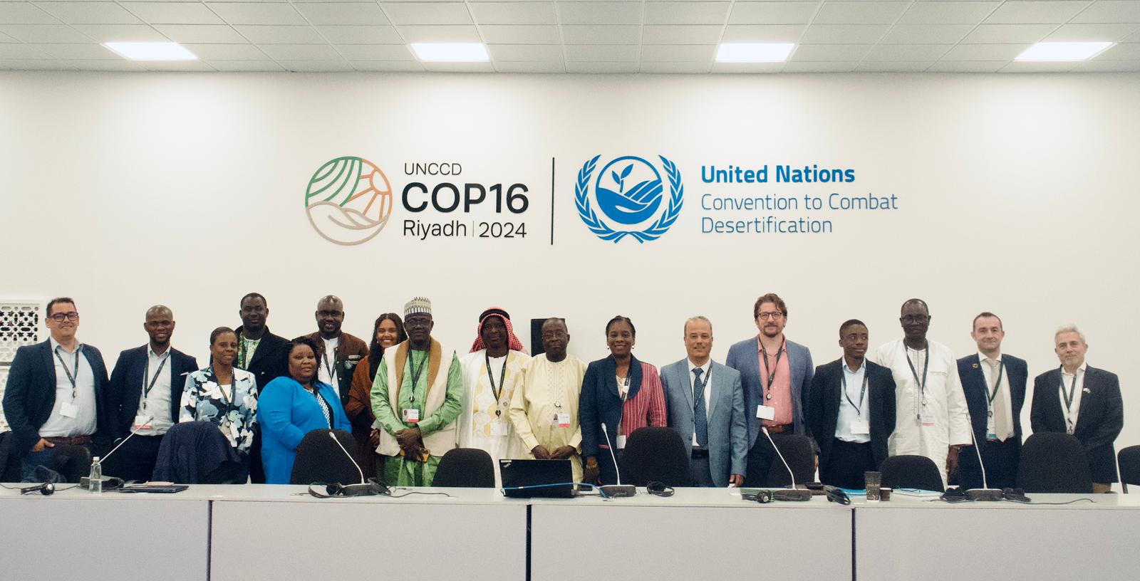
OSS Side Event at COP16: Strengthening Resilience in the Sahel through Multi-…