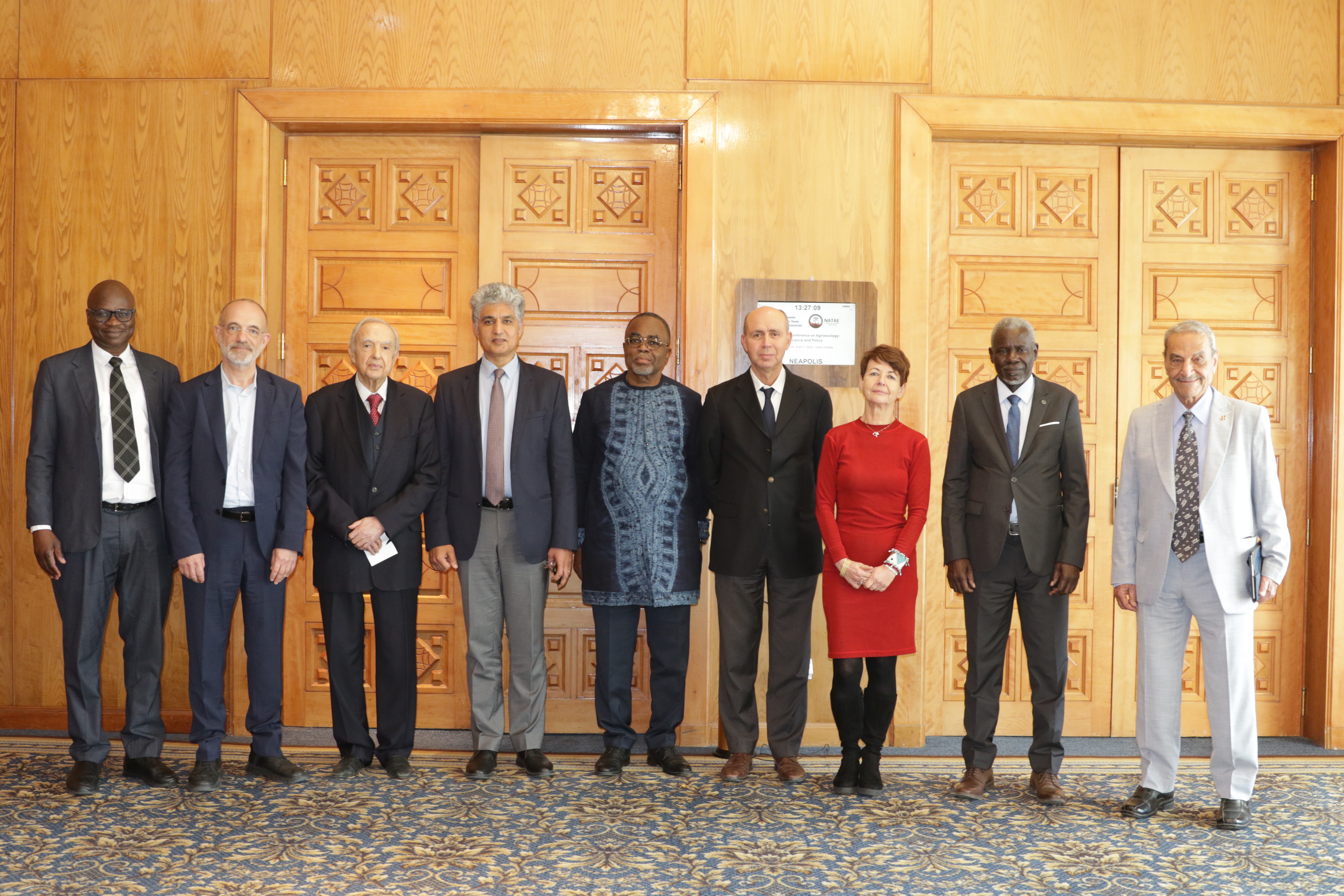
27th Session of the OSS Strategic Orientation Committee, Tunis, January 28, 2025
Held on January 28, 2025 in Tunis, the 27th session of the Strategic Orientation…
Closed
2018-2025
1 700 000 €
GMES&Africa, funded by the European Union through the African Union, is designed to support countries in North Africa in achieving sustainable management of their natural resources. By leveraging Earth Observation (EO) data and techniques, the initiative provides reliable products and services to inform and strengthen decision-making processes.
The project seeks to promote the sustainable use of water and natural resources through operational services grounded in EO. For this goal to be achieved, three priority areas have been identified: developing and sustaining decision-support tools tailored to water and land managers, fostering regional cooperation and knowledge exchange, and enhancing capacities while raising awareness among stakeholders of the opportunities offered by Earth Observation.
Within this framework, three key services have been developed: seasonal agriculture monitoring, the assessment of water use in irrigated perimeters, and land degradation monitoring, through a participatory approach involving end users, which led to the creation of two complementary geoservice platforms: MISLAND (www.misland.oss-online.org), dedicated to monitoring land degradation, and MISBAR (www.misbar.oss-online.org), focused on seasonal agriculture and water use monitoring.
Beyond these technical achievements, the project also builds on an in-depth analysis of user needs as well as national and regional studies, namely a capacity-building assessment in North Africa (CRASTE-LF) and an analysis of EO data integration into decision-making (CRTEAN) stand out as key contributions. Together, they reinforce the strategic dimension of the project, laying the foundation for stronger regional ownership of tools and knowledge in support of sustainable and cooperative resource management.
- MISLAND Africa: The Integrated Land Degradation Monitoring System in Africa
- MISLAND NA: The Integrated Land Degradation Monitoring System in North Africa
- MISBAR: The Irrigation and Water Abstraction Monitoring System
- GuetCrop: Crop Monitoring and Early Warning System in North Africa
- Saquia: A mobile app for controlling irrigation
Held on January 28, 2025 in Tunis, the 27th session of the Strategic Orientation…
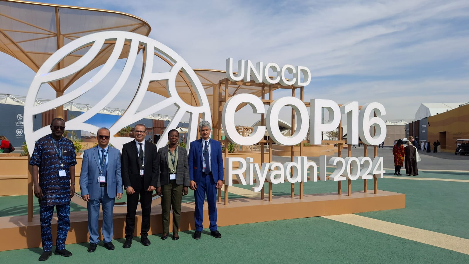
The participation of the Sahara and Sahel…
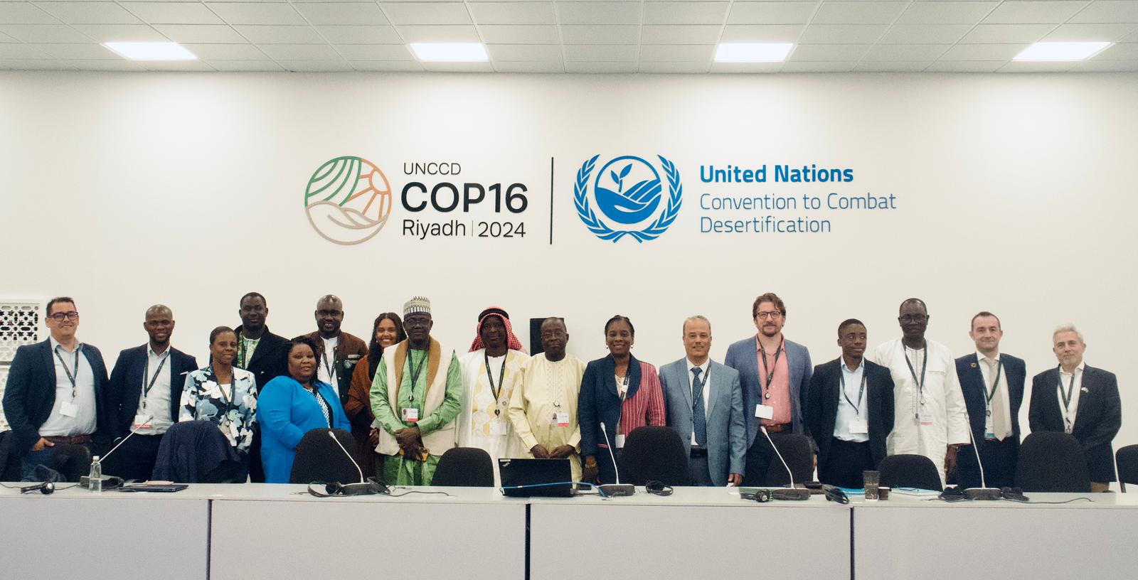
OSS Side Event at COP16: Strengthening Resilience in the Sahel through Multi-…