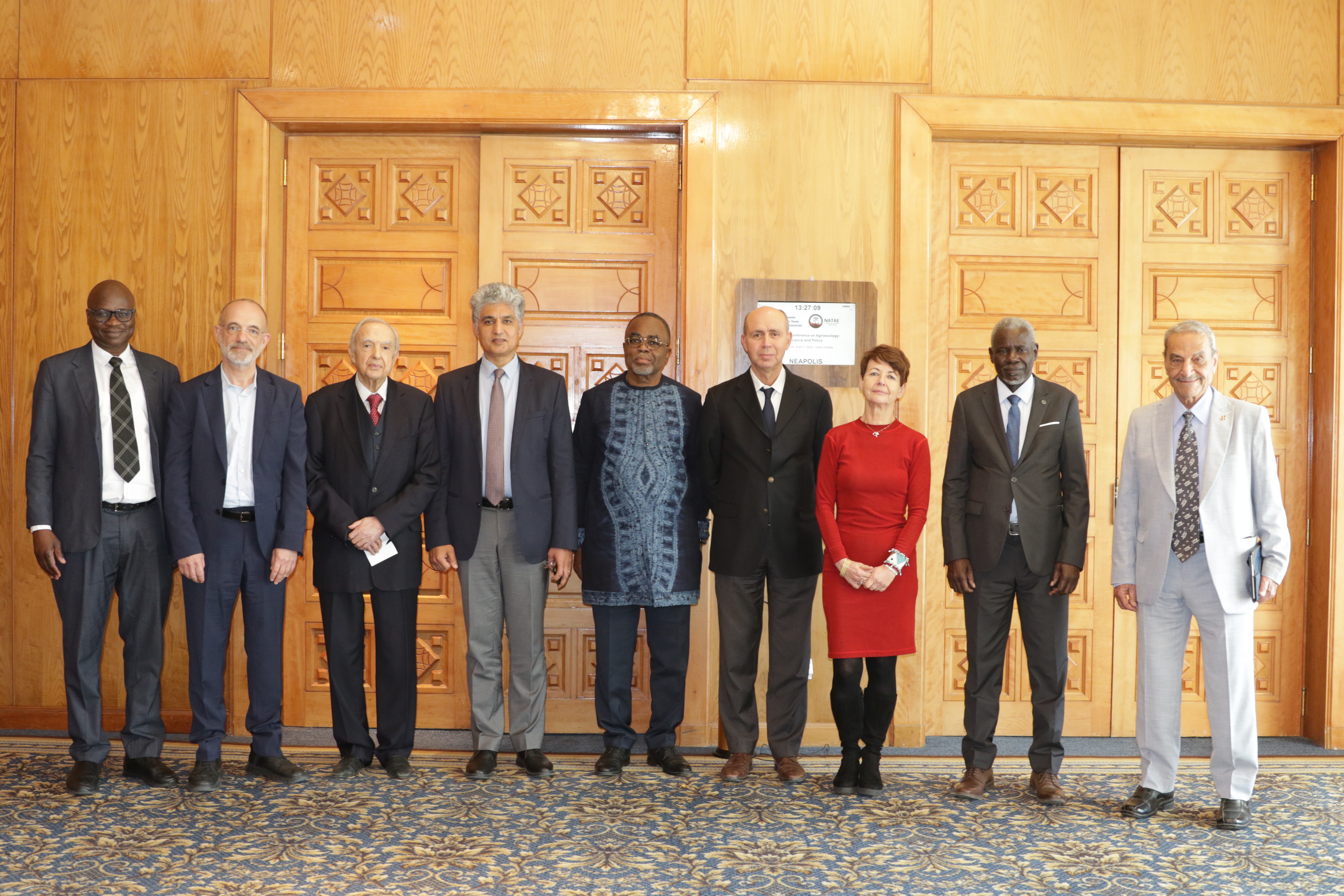
27th Session of the OSS Strategic Orientation Committee, Tunis, January 28, 2025
Held on January 28, 2025 in Tunis, the 27th session of the Strategic Orientation…
Closed
2019-2023
Earth Observation
Land degradation
Management of natural resources
OSS member countries
Digital Earth Africa stands as a unique geospatial infrastructure designed to support African countries in addressing their development priorities. By providing broader and harmonized access to Earth Observation data, it enables nations to better tackle key challenges such as resource management, land-use planning, environmental monitoring, and climate resilience. In doing so, it serves as a strategic lever for aligning national actions with major regional and global agendas, including the African Union’s Agenda 2063 and the Sustainable Development Goals (SDGs).
Developed by Geoscience Australia, the initiative reflects the strength of international cooperation in delivering tools tailored to the continent’s specific needs. Since the summer of 2022, its deployment within the South African National Space Agency (SANSA) has marked a pivotal milestone, ensuring the institutional and technical anchoring of the project on African soil.
By placing data at the heart of decision-making, Digital Earth Africa creates new opportunities to strengthen governance, advance the sustainable management of natural resources, and support inclusive, evidence-based public policies. It therefore embodies a long-term vision of transformation and empowerment, helping African nations to meet the challenges of the 21st century with resilience and foresight.
Held on January 28, 2025 in Tunis, the 27th session of the Strategic Orientation…

The participation of the Sahara and Sahel…
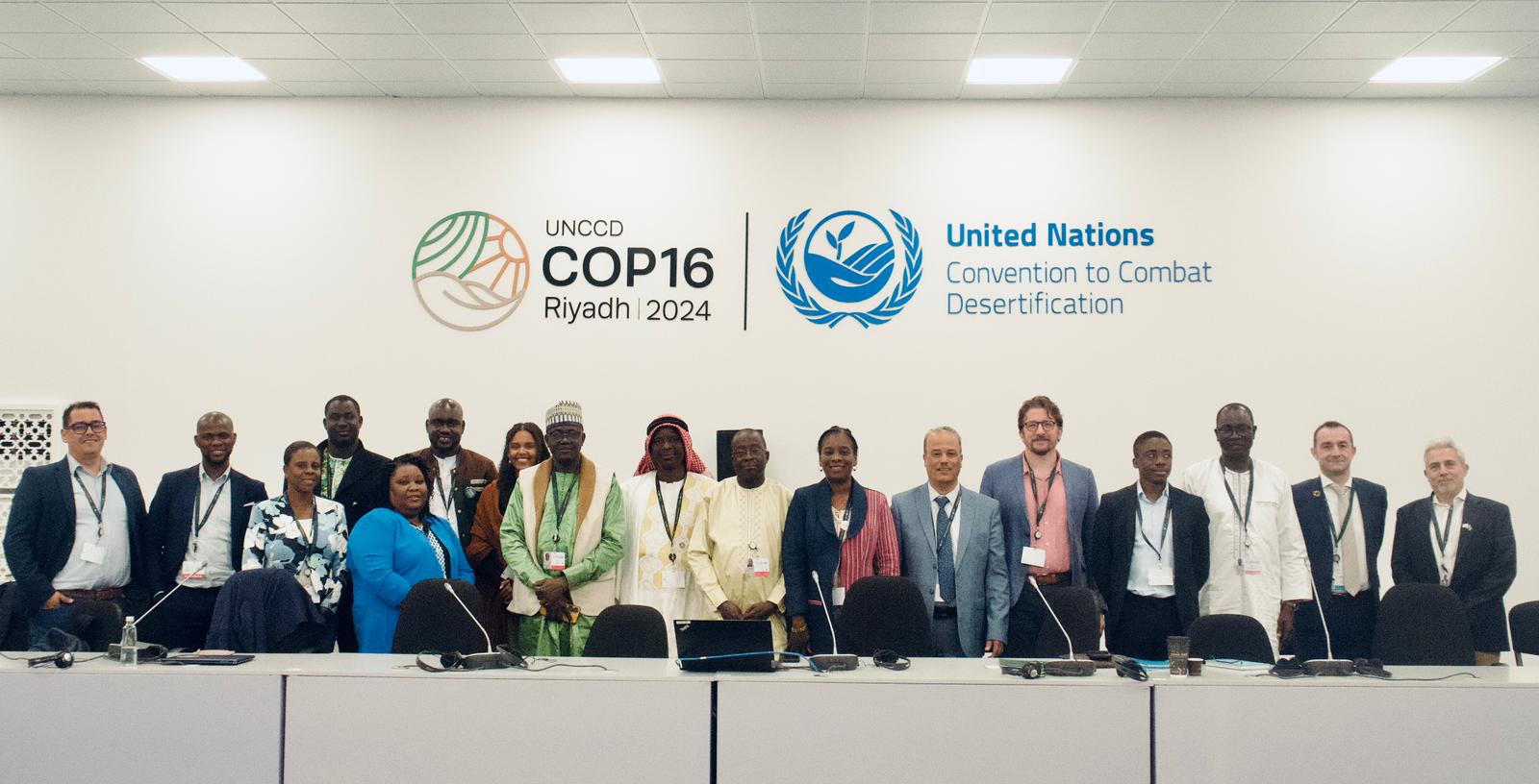
OSS Side Event at COP16: Strengthening Resilience in the Sahel through Multi-…