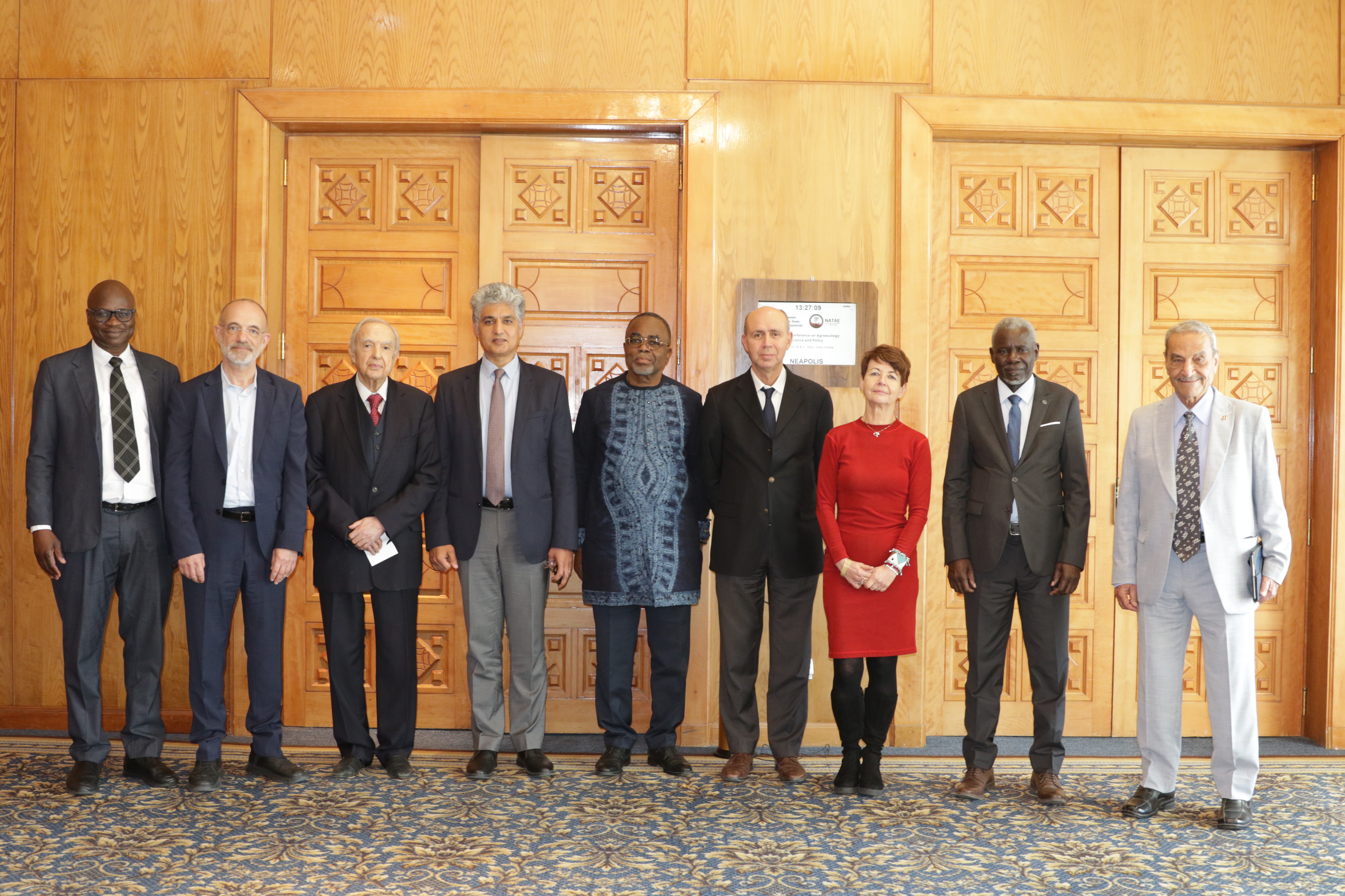
27th Session of the OSS Strategic Orientation Committee, Tunis, January 28, 2025
Held on January 28, 2025 in Tunis, the 27th session of the Strategic Orientation…
Closed
6 years (2014 – 2019)
1 799 500 US$
The World Bank supported the Great Green Wall Initiative (GGWI) through the Sahel and West Africa Program (SAWAP), funded by the GEF. Launched in 2011, this framework brought together twelve countries with the aim of strengthening efforts to combat land degradation through coordinated investments. For this dynamic to be sustained, a robust regional platform for sharing experiences and monitoring progress was deemed essential.
Within this context, the BRICKS project was created and structured around three key components: the dissemination of best practices (CILSS), monitoring and geospatial services (OSS), and biodiversity and communication (IUCN). With a budget of USD 1.8 million, the OSS coordinated the second component, developing harmonized monitoring tools, producing a regional guide, and designing geospatial solutions that fit the country needs.
The project made it possible to establish a spatial database, launch the SAWAP/BRICKS Geoportal in 2015 to disseminate environmental information, and create national GIS platforms to support the portfolio projects.
By building technical capacities and improving access to comparable data, the BRICKS project helps consolidate regional cooperation while providing the countries with practical tools to ensure effective monitoring and the overall success of the GGWI.
1. Design and development of a monitoring and evaluation system for the SAWAP
2. Development of an online Geo-portal on sustainable land and water management
3. Elaboration of 12 country Geographical Information Systems (GIS):
4. Publication of a regional atlas on land cover maps of the Sahel and West Africa region.
Held on January 28, 2025 in Tunis, the 27th session of the Strategic Orientation…
The participation of the Sahara and Sahel…
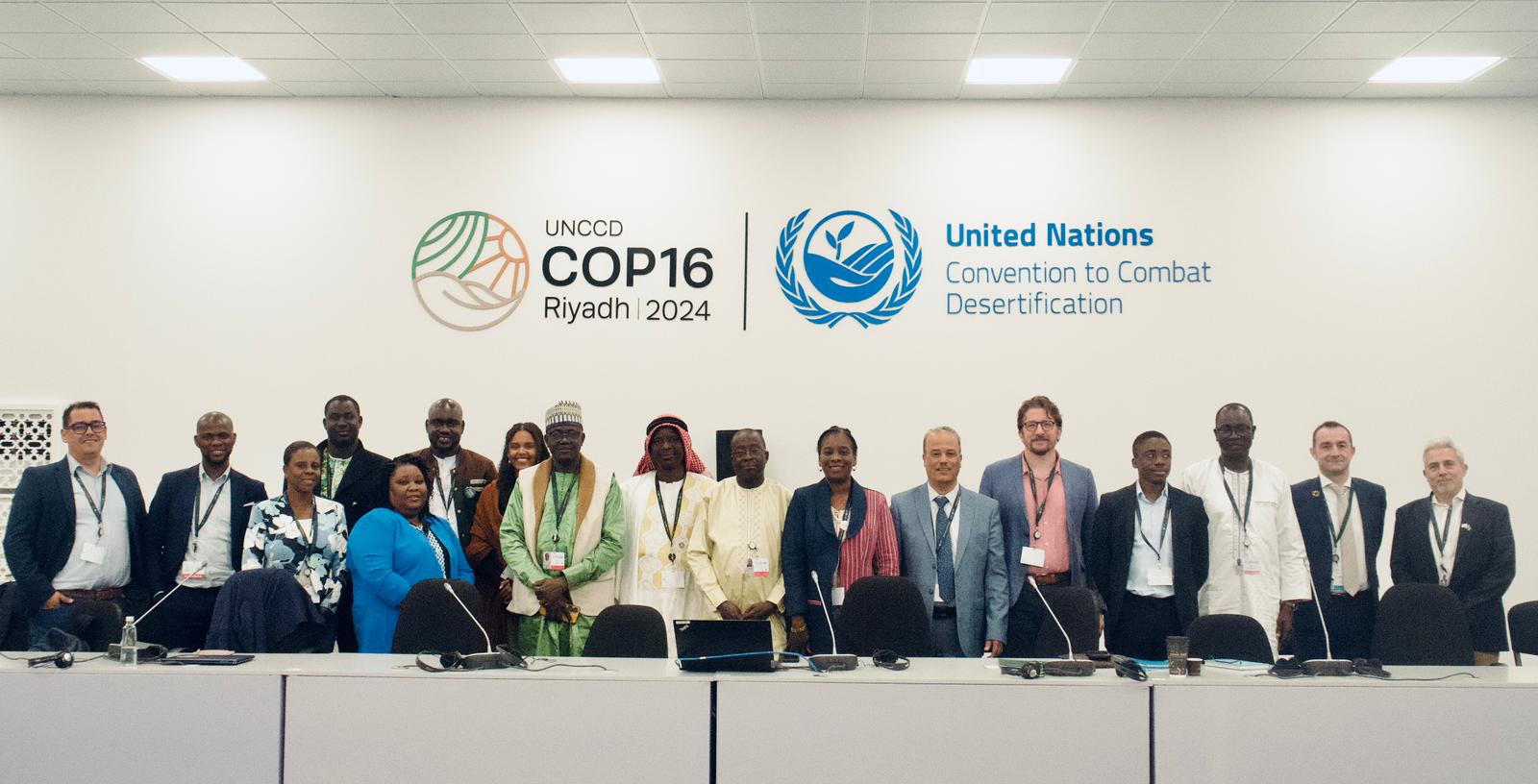
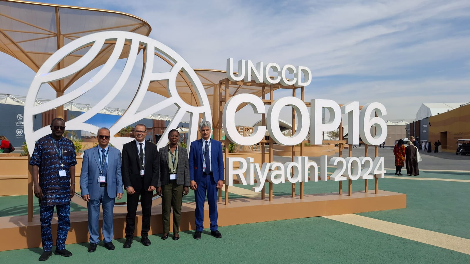
OSS Side Event at COP16: Strengthening Resilience in the Sahel through Multi-…