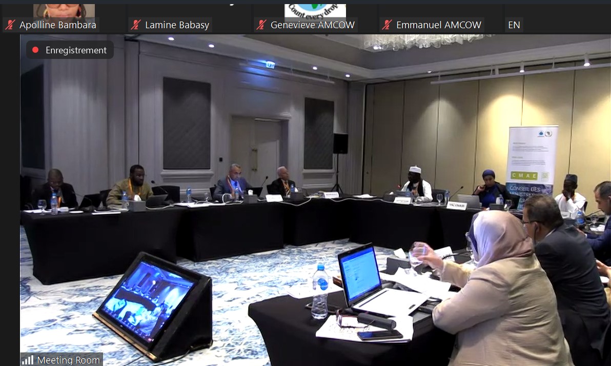
The OSS participates in the North Africa Sub-Regional Meeting for the Technical Advisory/Technical Experts Committees of AMCOW, April 16th - 17th, 2024
The recent Sub-Regional Meeting for North Africa on the Technical Advisory…
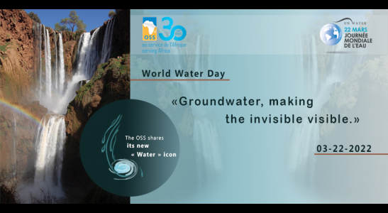
The 2022 World Water Day, comes the day following the start of the 9th World Water Forum which is being held in Dakar from March 21 to 26, 2022.
In order to celebrate this important day, a side-event on the : “Cooperation framework and integrated management approach for transboundary water resources and the restoration of lands and their associated ecosystems” was organized by the Sahara and Sahel Observatory. This side event is one of the key events celebrating the 30th anniversary of the OSS, which has been actively working, over three decades, for the integrated management of water resources.
Needless to say that Water plays a crucial role in the development of African countries and in the survival of natural ecosystems. It contributes to meeting social, environmental and economic expectations. Nevertheless, the fairly significant water potential of Africa is so badly apportioned. In fact, there is an Africa of potential water shortage in the North, an Africa of lack of water or the Saharan and sub-Saharan Africa and finally, an Africa of water excess, in the equatorial zone. Thus, nearly 60 million people live in a situation of water scarcity, 258 million in water stress, 365 million in water vulnerability and 120 million in water comfort. In sub-Saharan Africa alone, UNICEF estimated in 2015 that 500 children die every day from lack of safe water and poor sanitation.
More rational management of water resources and associated ecosystems requires access to tools, as well as to reliable data and information.
For this to happen, the OSS has been committed, since its creation in 1992, to supporting the efforts of its member countries in securing and sustainably managing their natural resources at several levels. Its contribution to the improvement of knowledge of surface and groundwater resources, to the design and provision of tools for the planning and management of water resources, as well as its support to policies for their sustainable management, are clear examples of such a commitment.
Thus, promoting and strengthening methods, techniques and tools for the collection and dissemination of information are a core part of the OSS statutory missions. On the one hand, it is called upon to develop surveillance and monitoring tools for the management of water and natural resources, and on the other hand, to build the capacities of its member countries on technologies for the use and exploitation of Earth Observation products and data.
In this context of unequal distribution of water, exacerbated by the effects of climate change, a more rational management of the resource cannot be achieved without reliable tools and regularly updated data. The improvement of knowledge of the Aquifer Systems of the North Western Sahara (NWSAS), the Tunisian-Libyan plain of Djeffara, and the Iullemeden-Taoudéni/Tanezrouft (ITTAS), and the establishment of a permanent consultation framework for the management of their water resources, the development of a hydro-economic model for the exploitation of water, capacity building for approximately 2,500 stakeholders of the sector and the 80% increase of the incomes of agricultural producers on pilot sites, are some examples of the results achieved.
Similarly, the "Regional Cooperation for Sustainable Management of Water Resources in the Maghreb" (CREM) Project has contributed to the IWRM promotion, the exchange of good practices between the countries (JOSSOUR Platform, "Expert 'O“ Network), the awareness-raising of young people (Master Class, Young Parliamentarians) on water scarcity challenges.
The multiple approaches developed by the OSS, together with the local key players, are all centered around a « basin awareness » common concept.
These approaches rely particulary on remote sensing (mapping, dynamic monitoring and evaluation of natural resources and developments based on satellite images), modeling and trans-boundary diagnostic analysis of the aquifer systems.
The example of irrigated perimeters actual cover is really helpful. The contribution of satellite data information to the natural resources monitoring is, at this level, unarguable ; especially when keeping in mind the costly field visits for data collection over large areas. In this regard, the OSS is, first of all, committed to supporting the efforts of member countries through methodological and technical approaches for the mapping and dynamic monitoring of irrigated perimeters, and thus, to estimating water withdrawals for agricultural use from satellite images.
The recent Sub-Regional Meeting for North Africa on the Technical Advisory…
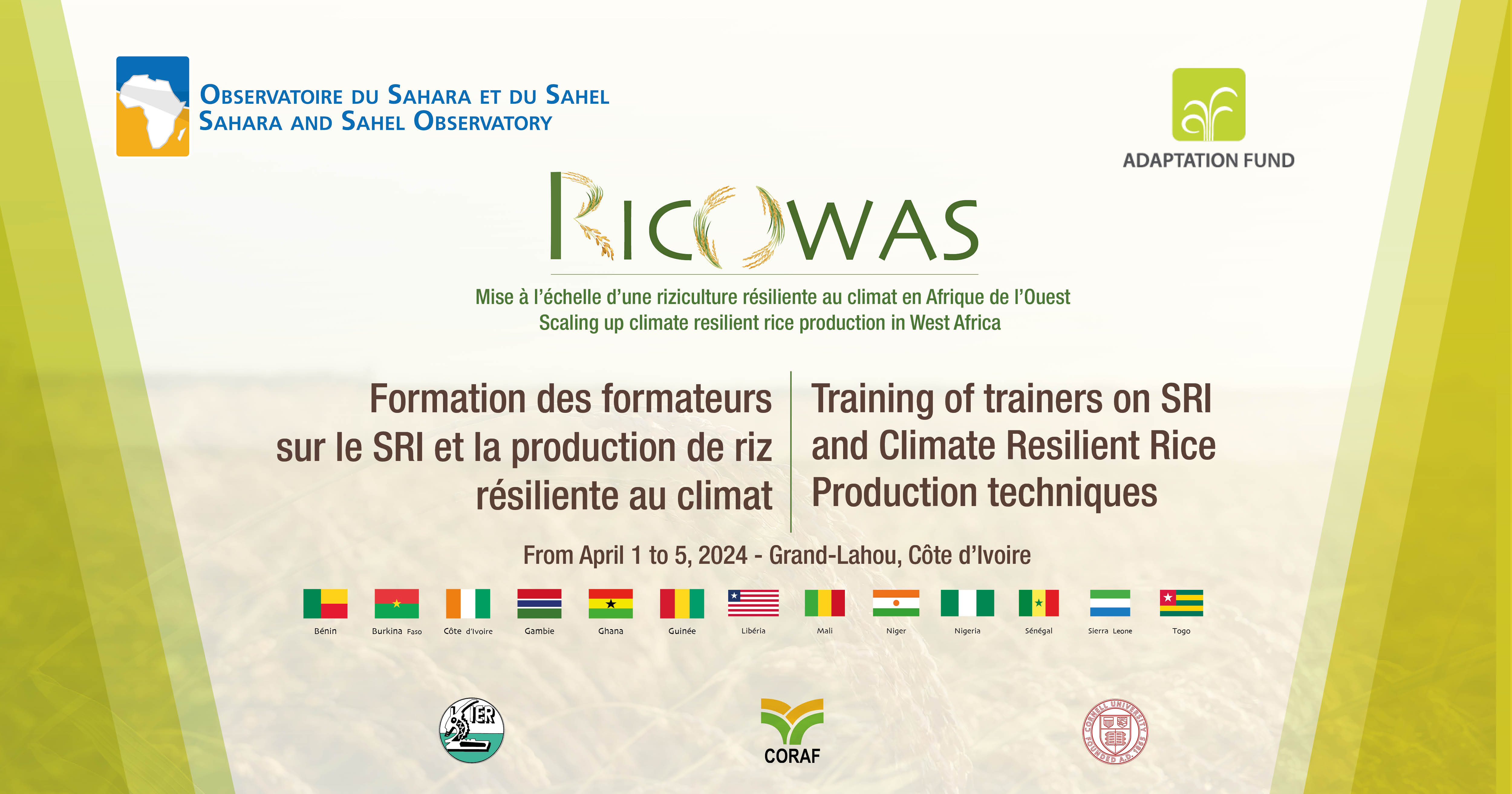
A regional training of trainers workshop will be held from April 1 to 5, 2024, at…
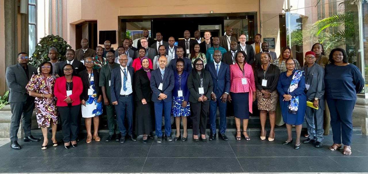
The participation of the Sahara and Sahel Observatory (OSS), represented by Ms.…